River Street Historic District, New Haven

Gallery (6)
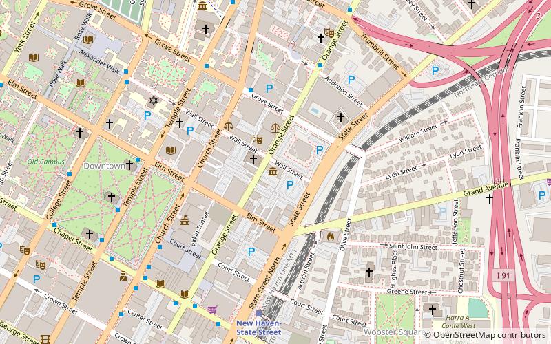
Map

Map

Gallery
Facts and practical information
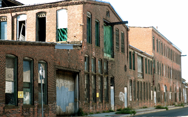
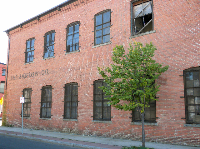
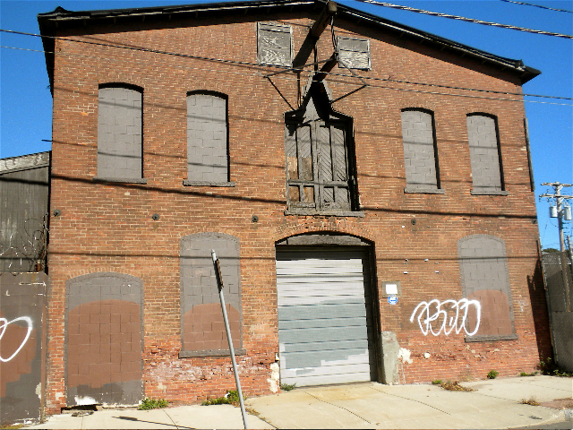
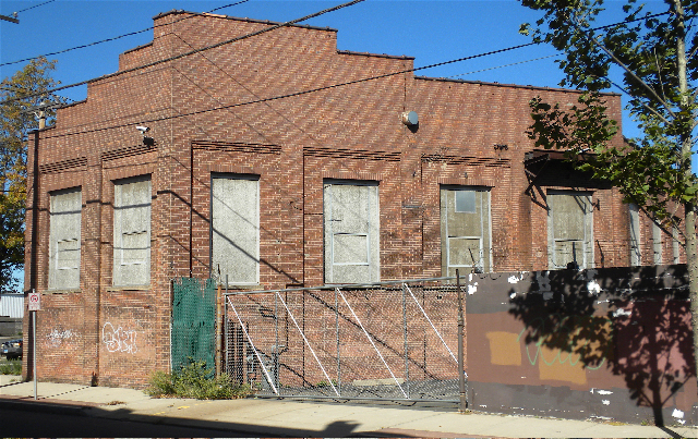
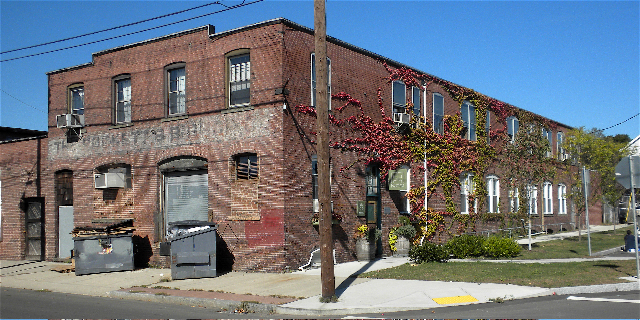
The River Street Historic District encompasses a historic industrial area in the Fair Haven section of New Haven, Connecticut. Located south of Church Street between James Street and Blatchley Avenue, the industrial buildings here date to New Haven's growth as a major industrial center between the American Civil War and World War I, with significant emphasis on metalworking businesses. The district was listed on the National Register of Historic Places in 1989. ()
Coordinates: 41°18'8"N, 72°54'2"W
Address
Fair HavenNew Haven
ContactAdd
Social media
Add
Getting there by public transportation
Public transportation stops near this location
- Bus
- Train
 Bus
Bus
- Calculate routeNew Haven-State Street 29 min walk
- Calculate routeAudubon/Orange 30 min walk
- Calculate routeOrange/Trumbull 31 min walk
- Calculate routeFoster/Edwards 31 min walk
- Calculate routeGrove/Whitney 32 min walk
Day trips


Frequently Asked Questions (FAQ)
Which popular attractions are close to River Street Historic District?
Nearby attractions include Tomlinson Lift Bridge, New Haven (10 min walk), Quinnipiac Brewery, New Haven (10 min walk), Q Bridge, New Haven (13 min walk), Fair Haven Union Cemetery, New Haven (16 min walk).
How to get to River Street Historic District by public transport?
The nearest stations to River Street Historic District:
Train
Bus
Train
- New Haven-State Street (29 min walk)
Bus
- Audubon/Orange • Lines: Orange Line (Day) (30 min walk)
- Orange/Trumbull • Lines: Blue Line (Weekend) (31 min walk)