Fletcher Place, Indianapolis
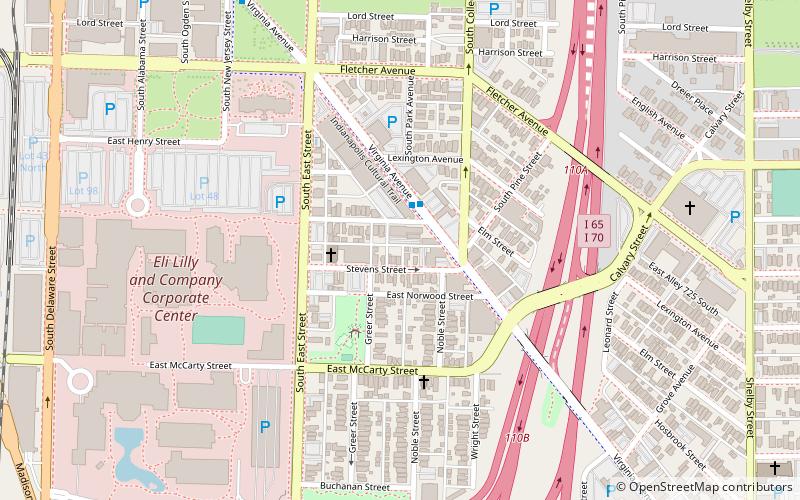
Map

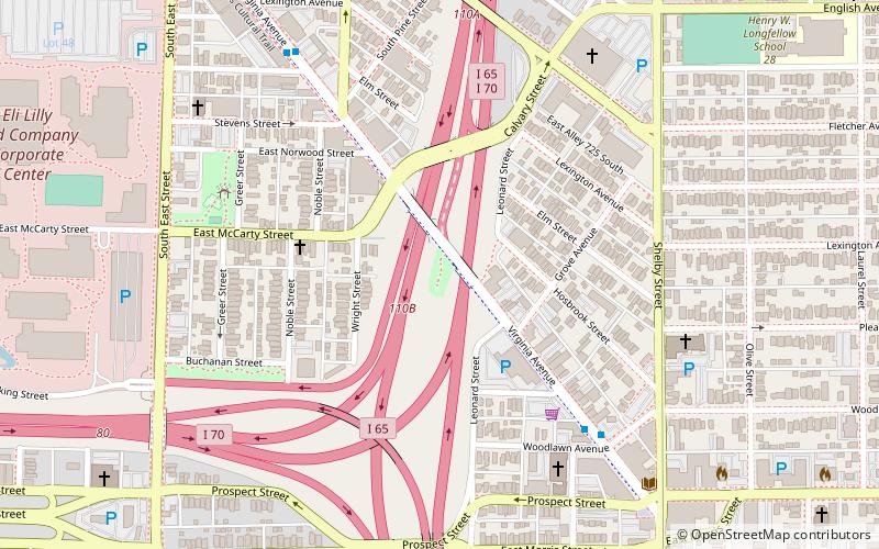
Map

Facts and practical information
Fletcher Place is a historic district and neighborhood in the city of Indianapolis, Indiana named after Calvin Fletcher, a prominent local banker, farmer and state senator. ()
Coordinates: 39°45'30"N, 86°8'50"W
Address
Downtown Indianapolis (Fletcher Place)Indianapolis
ContactAdd
Social media
Add
Day trips
Fletcher Place – popular in the area (distance from the attraction)
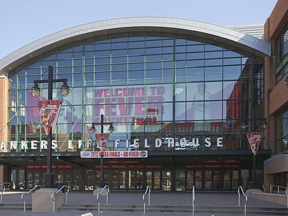
Nearby attractions include: Circle Centre Mall, Lucas Oil Stadium, Gainbridge Fieldhouse, Slippery Noodle Inn.
Frequently Asked Questions (FAQ)
Which popular attractions are close to Fletcher Place?
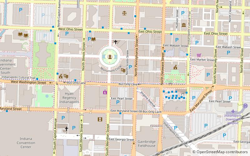
Nearby attractions include Holy Rosary–Danish Church Historic District, Indianapolis (4 min walk), Market East, Indianapolis (5 min walk), The Idle, Indianapolis (7 min walk), Horace Mann Public School No. 13, Indianapolis (8 min walk).
How to get to Fletcher Place by public transport?
The nearest stations to Fletcher Place:
Bus
Train
Bus
- N • Lines: 18, 28 (17 min walk)
- O • Lines: 11, 34, 55 (17 min walk)
Train
- Indianapolis Union Station (19 min walk)


