Columbus Country Club Mound, Columbus
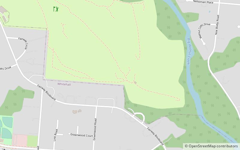
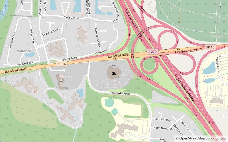
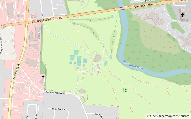
Map

Map

Facts and practical information
The Columbus Country Club Mound is a Native American burial mound at the Columbus Country Club in Columbus, Ohio. The mound was created around 2,000 years ago by the Pre-Columbian Native American Adena culture. The site was added to the National Register of Historic Places in 1974. ()
Coordinates: 39°58'4"N, 82°51'38"W
Address
East Columbus (Greenbriar Farm)Columbus
ContactAdd
Social media
Add
Day trips
Columbus Country Club Mound – popular in the area (distance from the attraction)
Nearby attractions include: Eastland Mall, Motorcycle Hall of Fame Museum, Creekside Gahanna, Ohio Governor's Mansion.
Frequently Asked Questions (FAQ)
How to get to Columbus Country Club Mound by public transport?
The nearest stations to Columbus Country Club Mound:
Bus
Bus
- E Main St & Manfeld Dr • Lines: 2 (23 min walk)


