Winthrop Parkway, Boston
Map

Map

Facts and practical information
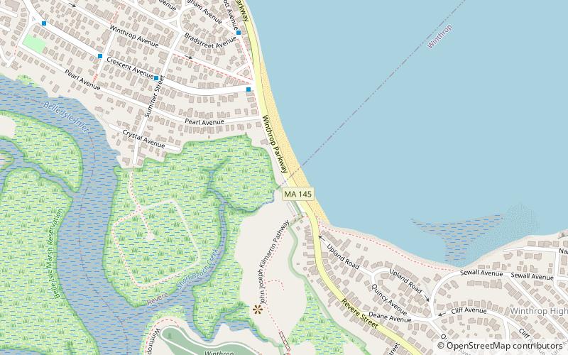
Winthrop Parkway is a historic parkway in Revere, Massachusetts. The parkway, built between 1909 and 1919 and now designated as part of Route 145, runs for about 0.75 miles, from Eliot Circle southeast to the Revere-Winthrop line. Acquisitions for its construction represent the last public purchase of oceanfront lands in Revere. It was listed on the National Register of Historic Places in 2004. ()
Coordinates: 42°23'29"N, 70°58'52"W
Address
Revere (Beachmont)Boston
ContactAdd
Social media
Add
Day trips
Winthrop Parkway – popular in the area (distance from the attraction)
Nearby attractions include: Fort Banks, Winthrop, Mary T. Ronan School, Winthrop Center/Metcalf Square Historic District.
Frequently Asked Questions (FAQ)
Which popular attractions are close to Winthrop Parkway?
Nearby attractions include Mary T. Ronan School, Nahant (12 min walk), Fort Banks, Boston (13 min walk).
How to get to Winthrop Parkway by public transport?
The nearest stations to Winthrop Parkway:
Metro
Metro
- Suffolk Downs • Lines: Blue (21 min walk)

 MBTA Subway


