The Cooler, New York City
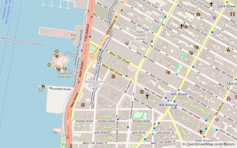
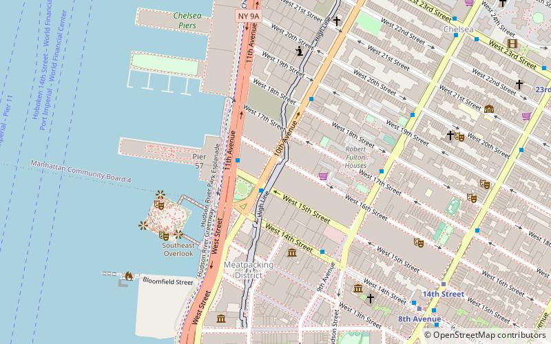
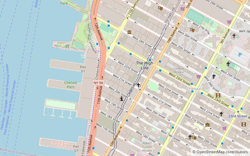
Map
Facts and practical information
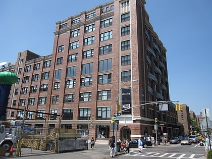
The Cooler, a music and performance space, opened on Wednesday, September 22, 1993 at 416 West 14th Street in the Meatpacking District in Manhattan. The club showcased a wide variety of experimental music, Americana music, roots music, and spoken-word performers. Performances at The Cooler also included dance, film and video arts, and club parties. The Cooler blended live music, DJs, turntablists, and electronic dance music. ()
Coordinates: 40°44'29"N, 74°0'23"W
Address
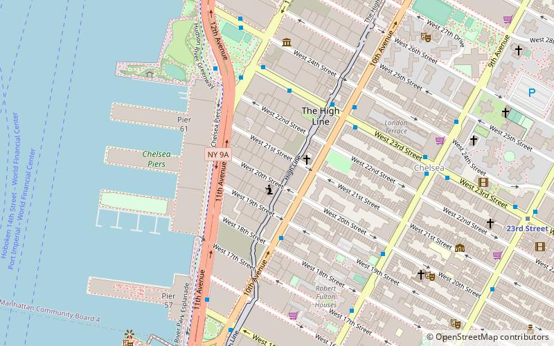
Midtown Manhattan (Chelsea)New York City
ContactAdd
Social media
Add
Day trips
The Cooler – popular in the area (distance from the attraction)
Nearby attractions include: Whitney Museum of American Art, Chelsea Market, High Line, Stray Kat Gallery.
Frequently Asked Questions (FAQ)
Which popular attractions are close to The Cooler?
Nearby attractions include Meatpacking District, New York City (2 min walk), Stray Kat Gallery, New York City (4 min walk), Our Lady of Guadalupe at St. Bernard's Church, New York City (4 min walk), 111 Eighth Avenue, New York City (5 min walk).
How to get to The Cooler by public transport?
The nearest stations to The Cooler:
Bus
Metro
Train
Ferry
Bus
- West 14th Street & 9th Avenue • Lines: M11, M12, M14A Sbs, M14D Sbs (1 min walk)
- 10th Avenue & West 15th Street • Lines: M12 (3 min walk)
Metro
- 8th Avenue • Lines: L (6 min walk)
- 14th Street • Lines: A, C, E (7 min walk)
Train
- Pennsylvania Station (24 min walk)
- New York Penn Station (24 min walk)
Ferry
- Hoboken NJ Transit Terminal (30 min walk)
- Hoboken 14th Street (30 min walk)
 Subway
 Manhattan Buses
