Philadelphia Charter School for Arts and Sciences, Philadelphia
Map
Facts and practical information
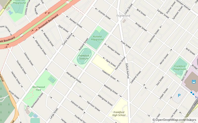
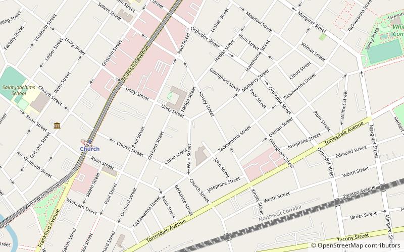
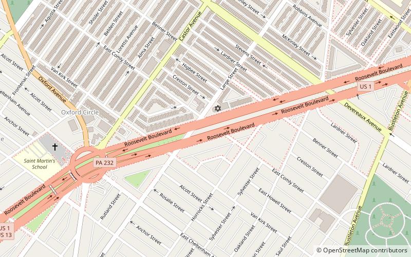
Philadelphia Charter School for Arts and Sciences at H.R. Edmunds is a charter school located in the Northwood neighborhood of Philadelphia, Pennsylvania. It is located in the former Henry R. Edmunds School building. The building was designed by Irwin T. Catharine and built in 1923–1924. It is a three-story, nine-bay, brick building on a raised basement in the Colonial Revival style. It features a projecting entrance pavilion, stone cornice, and brick parapet. ()
Coordinates: 40°1'30"N, 75°5'13"W
Address
Kensington (Northwood)Philadelphia
ContactAdd
Social media
Add
Getting there by public transportation
Public transportation stops near this location
- Metro
- Bus
- Train
 Metro
Metro
- Calculate routeSEPTA Frankford Transportation Center 12 min walk
- Calculate routeFrankford Transportation Center 13 min walk
- Calculate routeFrankford Transportation Center 13 min walk
- Calculate routeArrott Transportation Center 16 min walk
- Calculate routeChurch 26 min walk
- Calculate routeBridesburg 35 min walk
Maps SEPTA Regional Rail
SEPTA Regional RailDay trips


Frequently Asked Questions (FAQ)
Which popular attractions are close to Philadelphia Charter School for Arts and Sciences?
Nearby attractions include Greenwood Cemetery, Philadelphia (15 min walk), Frankford Branch, Philadelphia (16 min walk), Roosevelt Boulevard, Philadelphia (17 min walk), Cedar Hill Cemetery, Philadelphia (18 min walk).
How to get to Philadelphia Charter School for Arts and Sciences by public transport?
The nearest stations to Philadelphia Charter School for Arts and Sciences:
Bus
Metro
Train
Bus
- SEPTA Frankford Transportation Center (12 min walk)
- Frankford Transportation Center (13 min walk)
Metro
- Frankford Transportation Center • Lines: Mfl (13 min walk)
- Arrott Transportation Center • Lines: Mfl (16 min walk)
Train
- Bridesburg (35 min walk)