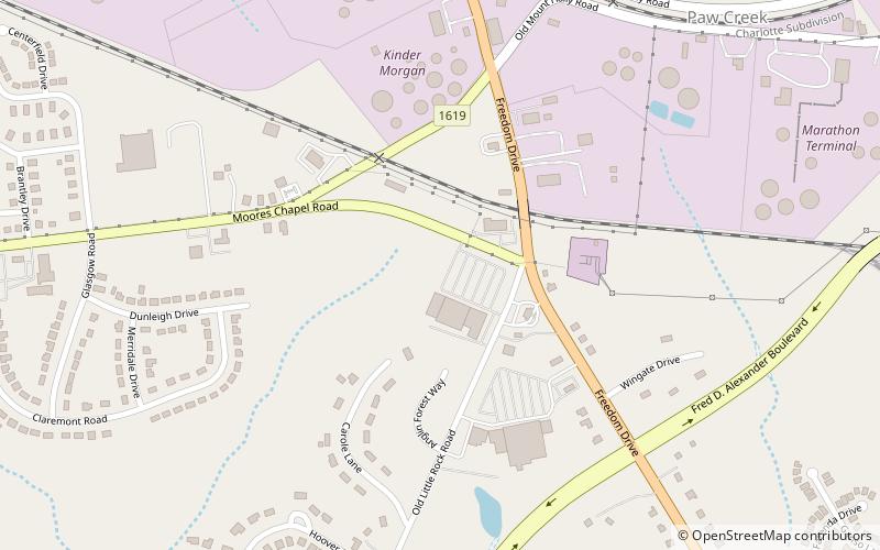
Paw Creek, Charlotte
Map
Facts and practical information
Paw Creek is primarily considered to be a community and neighborhood in the northwest part of Mecklenburg County in North Carolina. It is generally defined geographically by the original boundaries of Paw Creek Township. Most of Paw Creek is within the city limits of Charlotte but the areas that have not yet been annexed are also recognized as a Township of North Carolina. ()
Coordinates: 35°16'30"N, 80°56'18"W
Address
Westside (Pawtuckett)Charlotte
ContactAdd
Social media
Add
Getting there by public transportation
Public transportation stops near this location
- Bus
 Bus
Bus
- Calculate routeValleydale Road at Homestead Glen 31 min walk
Day trips


Frequently Asked Questions (FAQ)
How to get to Paw Creek by public transport?
The nearest stations to Paw Creek:
Bus
Bus
- Valleydale Road at Homestead Glen • Lines: 1 (31 min walk)