Byers-Lyons House, Pittsburgh
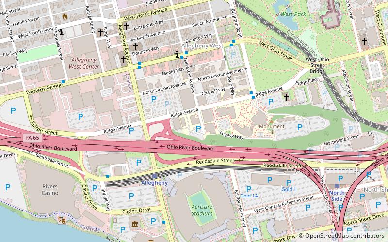
Map

Map

Facts and practical information
The Byers-Lyons House in the Allegheny West neighborhood of Pittsburgh, Pennsylvania, is a building from 1898. It was added to the List of City of Pittsburgh historic designations on March 15, 1974, the National Register of Historic Places on November 19, 1974, and the List of Pittsburgh History and Landmarks Foundation Historic Landmarks in 1989. ()
Architectural style: Renaissance revivalCoordinates: 40°26'59"N, 80°0'58"W
Address
North Side (Allegheny West)Pittsburgh
ContactAdd
Social media
Add
Day trips
Byers-Lyons House – popular in the area (distance from the attraction)
Nearby attractions include: Heinz Field, PNC Park, Randyland, Mattress Factory.
Frequently Asked Questions (FAQ)
Which popular attractions are close to Byers-Lyons House?
Nearby attractions include Allegheny West, Pittsburgh (5 min walk), Calvary United Methodist Church, Pittsburgh (6 min walk), Emmanuel Episcopal Church, Pittsburgh (8 min walk), Carnegie Science Center, Pittsburgh (8 min walk).
How to get to Byers-Lyons House by public transport?
The nearest stations to Byers-Lyons House:
Light rail
Bus
Light rail
- Allegheny • Lines: Blue, Red, Silver (4 min walk)
- North Side • Lines: Blue, Red, Silver (10 min walk)
Bus
- Liberty Ave at Wyndham Grand • Lines: Metro Commuter, P10 (21 min walk)
- Liberty Ave at Stanwix St • Lines: P10 (22 min walk)


