Zilker, Austin
Map

Map

Facts and practical information
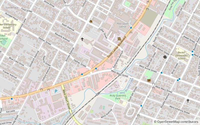
Zilker is a neighborhood in south central Austin, Texas. It extends south of Lady Bird Lake, approximately bounded by the Union Pacific Railway to the southeast/south, Barton Skyway to the south, Rabb Road and Azie Morton Road to the west and Lady Bird Lake to the north. ()
Coordinates: 30°15'0"N, 97°46'0"W
Address
South Austin (Zilker)Austin
ContactAdd
Social media
Add
Day trips
Zilker – popular in the area (distance from the attraction)
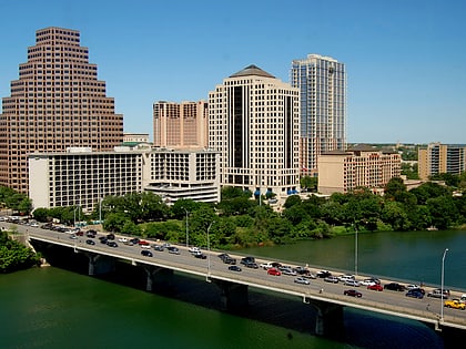
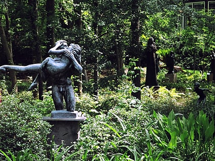
Nearby attractions include: Barton Springs Pool, Ann W. Richards Congress Avenue Bridge, Umlauf Sculpture Garden and Museum, Auditorium Shores.
Frequently Asked Questions (FAQ)
Which popular attractions are close to Zilker?
Nearby attractions include South Austin Popular Culture Center, Austin (4 min walk), Austin Art Garage, Austin (10 min walk), Bouldin Creek, Austin (18 min walk).
How to get to Zilker by public transport?
The nearest stations to Zilker:
Train
Bus
Train
- Zilker Zephyr (27 min walk)
Bus
- 3201 Menchaca/Glen Allen, Stop ID 729 • Lines: 3 (29 min walk)


