Tappen Park, New York City
Map
Map

Facts and practical information
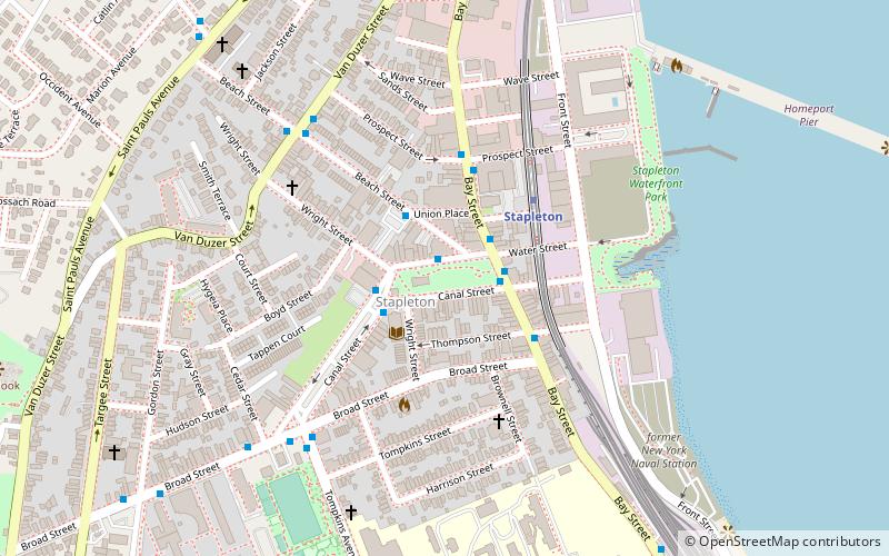
Tappen Park is a small park and square in the Stapleton neighborhood on the East Shore of Staten Island, New York City. It is bounded by Bay Street on the east, Water Street on the north, and Canal Street on the south and west. It is named for First World War veteran James Tappen. The land that the park is sited on was first purchased by the government in 1867, and it was acquired by the City of New York in 1898. ()
Elevation: 7 ft a.s.l.Coordinates: 40°37'37"N, 74°4'37"W
Address
North Shore (Stapleton)New York City
ContactAdd
Social media
Add
Day trips
Tappen Park – popular in the area (distance from the attraction)
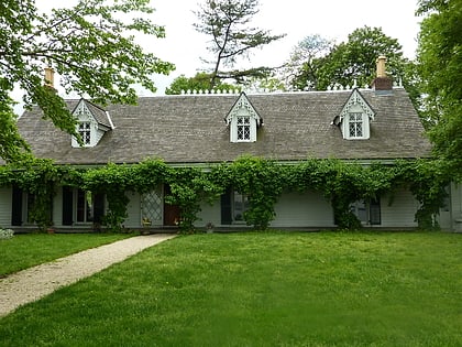
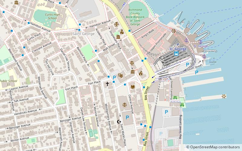
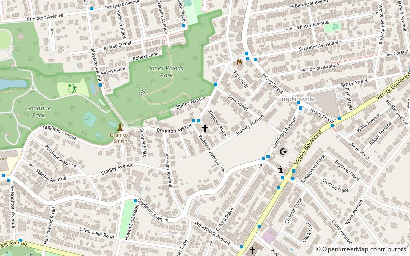
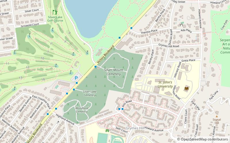
Nearby attractions include: Alice Austen House, St. George Theatre, Christ Church New Brighton, Brighton Heights Reformed Church.
Frequently Asked Questions (FAQ)
Which popular attractions are close to Tappen Park?
Nearby attractions include Edgewater Village Hall and Tappen Park, New York City (2 min walk), St. Paul's Memorial Church, New York City (10 min walk), Caleb T. Ward Mansion, New York City (12 min walk), Casa Belvedere, New York City (16 min walk).
How to get to Tappen Park by public transport?
The nearest stations to Tappen Park:
Bus
Metro
Bus
- Canal Street & Wright Street • Lines: S52, S74, S78 (2 min walk)
- Tompkins Avenue & Broad Street • Lines: S78 (6 min walk)
Metro
- Stapleton • Lines: Sir (4 min walk)
- Clifton • Lines: Sir (13 min walk)

 Subway
 Manhattan Buses