Trek Zone

Newport Heights, Newport Beach

#37 among attractions in Newport Beach

Neighbourhood
Newport Heights location map
Map

Facts and practical information
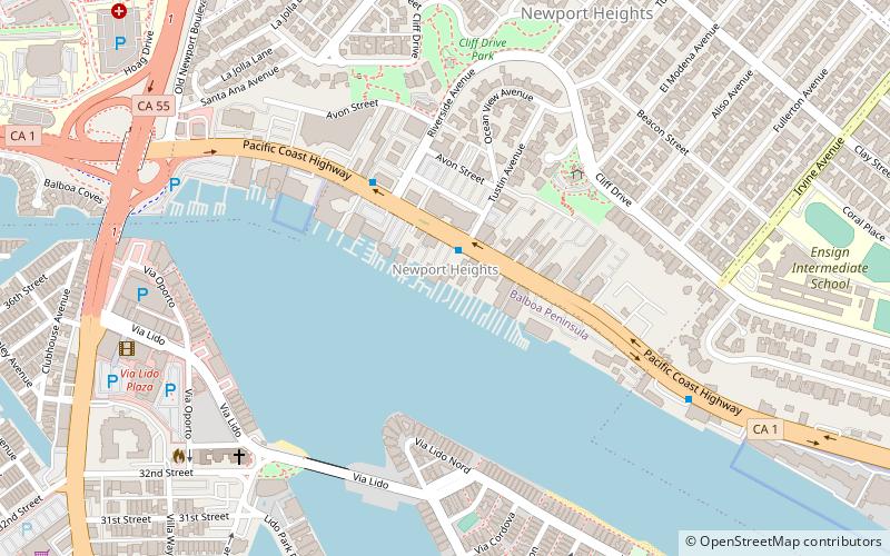
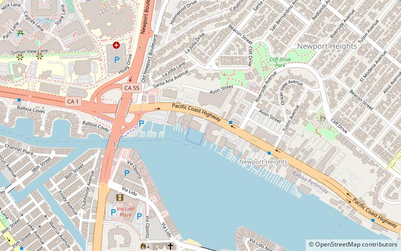
Coordinates: 33°37'9"N, 117°55'24"W
Address

Newport Beach (Mariners Mile)Newport Beach United States

ContactAdd
Social media
Add
Day trips

Newport Heights – popular in the area (distance from the attraction)

Nearby attractions include: USS YMS-328, Newport Pier, Newport Beach Sailing Charters, Upper Newport Bay State Marine Conservation Area.

  • uss yms 328 newport beach~420 ftE
  • newport pier newport beach0.9 miS
  • newport beach sailing charters0.4 miE
  • upper newport bay state marine conservation area newport beach location map
    1.1 miE
  • dory fish market newport beach0.8 miS
  • lovell beach house newport beach1 miS
  • balboa peninsula newport beach1.6 miSE
  • lido isle newport beach0.6 miSE
  • american liberty university newport beach location map
    ~960 ftNW

Frequently Asked Questions (FAQ)

Which popular attractions are close to Newport Heights?

Nearby attractions include USS YMS-328, Newport Beach (3 min walk), American Liberty University, Newport Beach (5 min walk), Newport Beach Sailing Charters, Newport Beach (12 min walk), Lido Isle, Newport Beach (15 min walk).

Where to next? Visit california California region page or discover the top tourist attractions in United States.