State Street Historic District, Boise
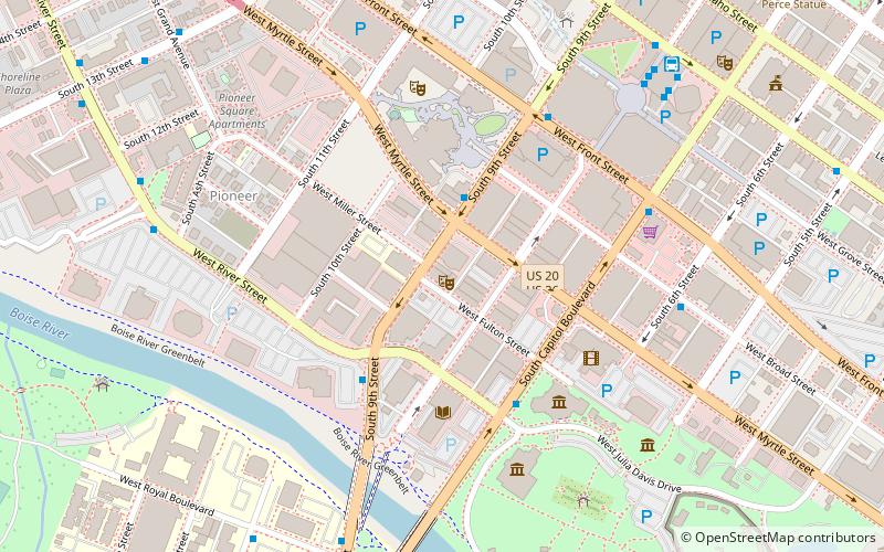
Map
Map

Facts and practical information
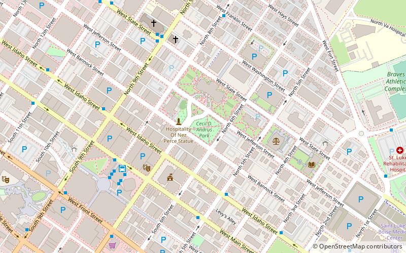
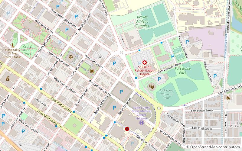
The State Street Historic District in Boise, Idaho, is a group of houses constructed between 1886 and 1940 along West Jefferson and State Streets, bounded by North 2nd and 3rd Streets. The houses represent a variety of architectural styles, and some were occupied by politicians and judges during the early 20th century. The historic district was added to the National Register of Historic Places in 1978. ()
Area: 5.1 acres (0.008 mi²)Coordinates: 43°36'55"N, 116°11'36"W
Address
Downtown Boise CityBoise
ContactAdd
Social media
Add
Day trips
State Street Historic District – popular in the area (distance from the attraction)
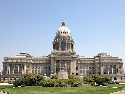
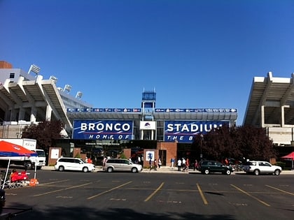
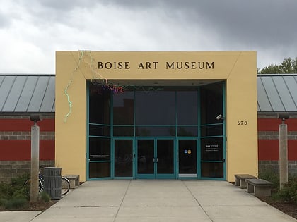
Nearby attractions include: Idaho State Capitol, Albertsons_Stadium, Boise Art Museum, Boise Contemporary Theater.
Frequently Asked Questions (FAQ)
Which popular attractions are close to State Street Historic District?
Nearby attractions include Idaho Commission for the Blind and Visually Impaired, Boise (4 min walk), Idaho Commission for Libraries, Boise (4 min walk), C. C. Cavanah House, Boise (6 min walk), Wellman Apartments, Boise (7 min walk).
How to get to State Street Historic District by public transport?
The nearest stations to State Street Historic District:
Bus
Bus
- West Main Street & North 1st Street SWC • Lines: 2 (8 min walk)
- St. Luke's Hospital • Lines: Orange Downtown (8 min walk)

