Central Office District, Richmond
Map
Facts and practical information
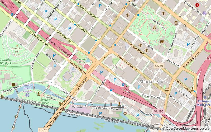
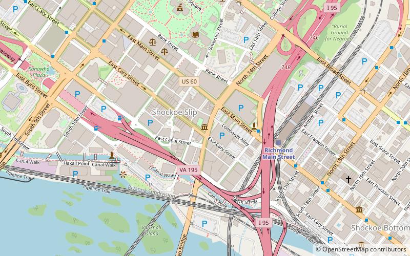
The Central Office District is the central business district for Downtown Richmond, Virginia. The district contains a majority of the city core, with several high rises situated in this region of the city. The District houses the Richmond Federal Reserve Bank, Dominion Virginia Power's corporate headquarters, Kanawha Plaza and the Virginia Tourism Corporation. U.S. Route 60 is the main street through the district. ()
Coordinates: 37°32'11"N, 77°26'15"W
Address
Downtown Richmond (Central Office)Richmond
ContactAdd
Social media
Add
Getting there by public transportation
Public transportation stops near this location
- Bus
- Train
 Bus
Bus
- Calculate routeA 12 min walk
- Calculate routeB 13 min walk
- Calculate routeC 13 min walk
- Calculate routeD 13 min walk
- Calculate routeRichmond Main Street 12 min walk
Day trips
Central Office District – popular in the area (distance from the attraction)
Nearby attractions include: Virginia State Capitol, Richmond Coliseum, Virginia Washington Monument, The National.


Frequently Asked Questions (FAQ)
Which popular attractions are close to Central Office District?
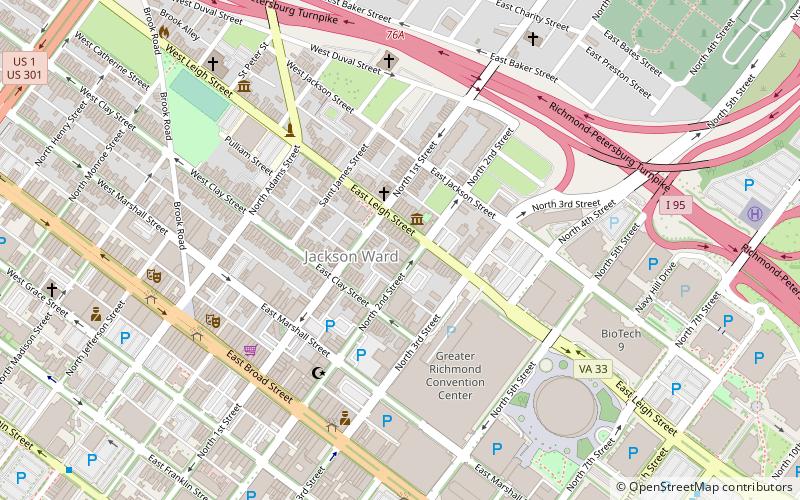
Nearby attractions include Deep Run Baptist Church, Richmond (2 min walk), First National Bank Building, Richmond (4 min walk), Main Street Banking Historic District, Richmond (4 min walk), Lewis F. Powell, Richmond (5 min walk).
How to get to Central Office District by public transport?
The nearest stations to Central Office District:
Bus
Train
Bus
- A • Lines: 1A, 1C (12 min walk)
- B • Lines: 1A, 1C (13 min walk)
Train
- Richmond Main Street (12 min walk)