Ross Island Bridge, Portland
Map
Gallery
Facts and practical information
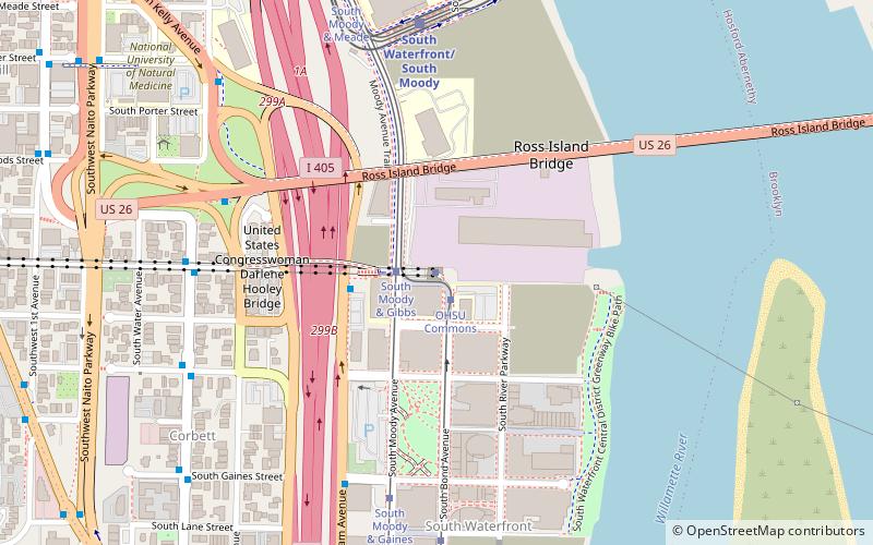
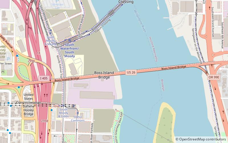
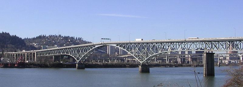
The Ross Island Bridge is a cantilever truss bridge that spans the Willamette River in Portland, Oregon. It carries U.S. Route 26 across the river between southwest and southeast Portland. The bridge opened in 1926 and was designed by Gustav Lindenthal and honors Oregon pioneer Sherry Ross. It is named for its proximity to Ross Island. Although it looks like a deck arch bridge, it is a cantilever deck truss bridge, a rare type in Oregon. ()
Coordinates: 45°30'4"N, 122°40'5"W
Address
Lair Hill (South Portland)Portland
ContactAdd
Social media
Add
Day trips
Ross Island Bridge – popular in the area (distance from the attraction)
Nearby attractions include: Oregon Museum of Science and Industry, Portland Aerial Tram, Marquam Bridge, Oregon Rail Heritage Center.
Frequently Asked Questions (FAQ)
Which popular attractions are close to Ross Island Bridge?
Nearby attractions include South Waterfront Greenway, Portland (5 min walk), OHSU Center for Health & Healing, Portland (6 min walk), The Meriwether, Portland (7 min walk), Gibbs Street Pedestrian Bridge, Portland (7 min walk).
How to get to Ross Island Bridge by public transport?
The nearest stations to Ross Island Bridge:
Light rail
Tram
Bus
Light rail
- South Waterfront/South Moody • Lines: Orange (6 min walk)
- OMSI/Southeast Water • Lines: Orange (12 min walk)
Tram
- OHSU Commons • Lines: Ns (6 min walk)
- South Moody & Meade • Lines: A, B, Ns (7 min walk)
Bus
- Southwest Macadam & Tram Tower • Lines: 35, 36, 99 (7 min walk)
- Ross Island Bridge • Lines: 19 (9 min walk)


