Cherry Tree, Indianapolis
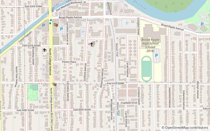
Map
Facts and practical information
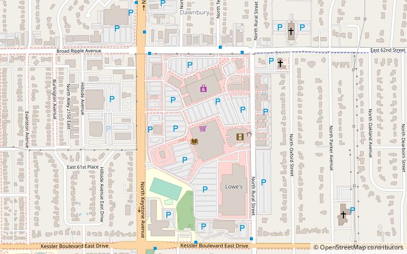
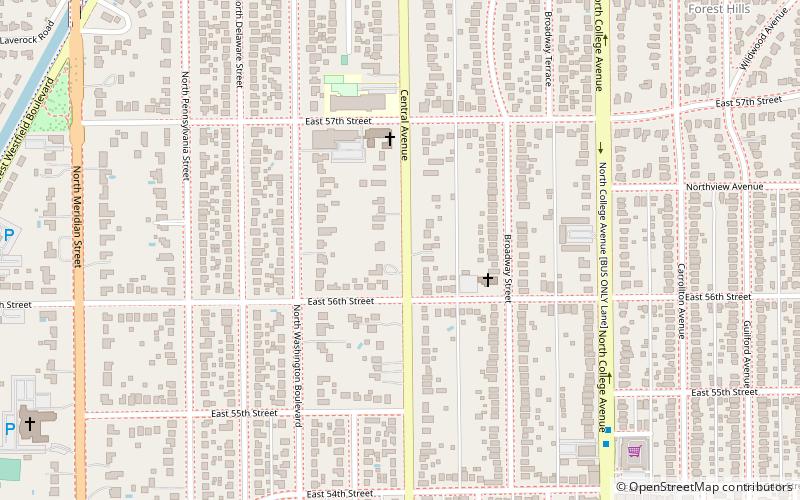
Cherry Tree, Indiana is a neighborhood of Carmel, Indiana. The area is centered on the intersection of Gray Road and Smokey Row Road in Hamilton County. Cherry Tree is known for large homes with some of be best, extensive walking and biking trails in Indianapolis Metropolitan Area. ()
Area: 1.6 mi²Coordinates: 39°51'60"N, 86°8'30"W
Address
Broad Ripple VillageIndianapolis
ContactAdd
Social media
Add
Day trips
Cherry Tree – popular in the area (distance from the attraction)
Nearby attractions include: Indianapolis Art Center, Monon Trail, Glendale Town Center, Indianapolis Hebrew Congregation.
Frequently Asked Questions (FAQ)
Which popular attractions are close to Cherry Tree?
Nearby attractions include Broad Ripple Village, Indianapolis (6 min walk), The Bungalow, Indianapolis (8 min walk), Broad Ripple Firehouse–Indianapolis Fire Department Station 32, Indianapolis (8 min walk), Forest Hills Historic District, Indianapolis (14 min walk).
How to get to Cherry Tree by public transport?
The nearest stations to Cherry Tree:
Bus
Bus
- Broad Ripple Station • Lines: 90 (8 min walk)
- College Avenue & 54th Street • Lines: 90 (27 min walk)
