Forest Hills Historic District, Indianapolis
Map

Map

Facts and practical information
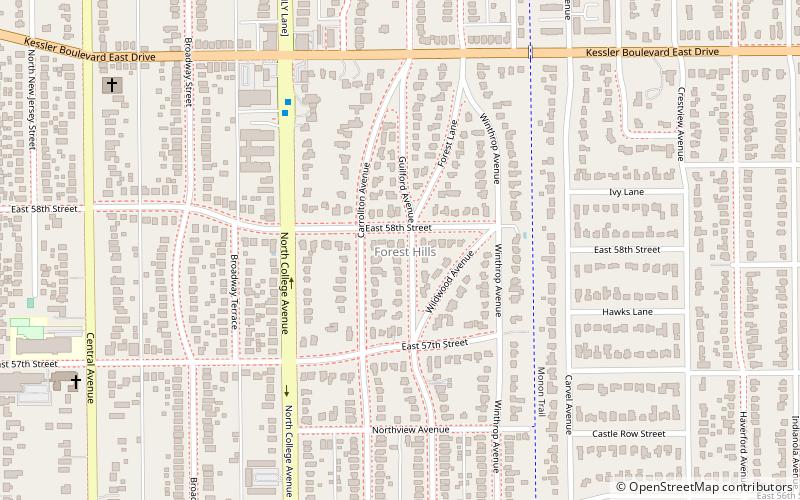
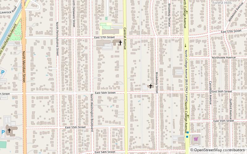
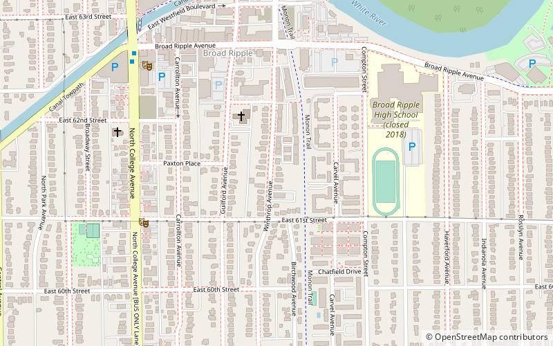
Forest Hills Historic District is a national historic district located at Indianapolis, Indiana. It encompasses 173 contributing buildings and 7 contributing structures in a planned residential section of Indianapolis. It developed between about 1911 and 1935, and includes representative examples of Tudor Revival and English Cottage style architecture. ()
Coordinates: 39°51'32"N, 86°8'37"W
Address
South Broad RippleIndianapolis
ContactAdd
Social media
Add
Day trips
Forest Hills Historic District – popular in the area (distance from the attraction)
Nearby attractions include: Indianapolis Hebrew Congregation, Meridian Street United Methodist Church, The Bungalow, Canterbury Park.
Frequently Asked Questions (FAQ)
Which popular attractions are close to Forest Hills Historic District?
Nearby attractions include Canterbury Park, Indianapolis (10 min walk), Meridian-Kessler, Indianapolis (12 min walk), Cherry Tree, Indianapolis (14 min walk), Broad Ripple Village, Indianapolis (19 min walk).
How to get to Forest Hills Historic District by public transport?
The nearest stations to Forest Hills Historic District:
Bus
Bus
- College Avenue & Kessler Boulevard • Lines: 90 (6 min walk)
- Broad Ripple Station • Lines: 90 (19 min walk)


