Onteora Park Historic District, Hunter
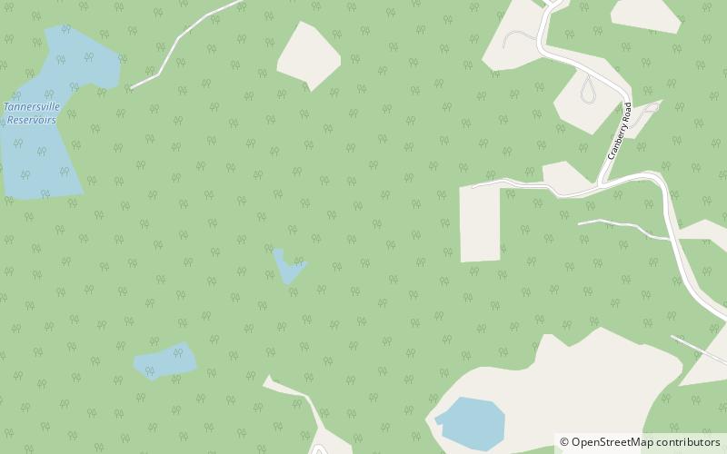
Map
Facts and practical information
Onteora Park Historic District is a national historic district located at Hunter in Greene County, New York. The district contains 94 contributing buildings and seven contributing structures. It is composed of a golf course and extensive hiking trails planned during the late 19th century. The small residential area was laid out in 1880. The district is characterized by woodlands and open space and features breathtaking panoramic mountainous landscape views. ()
Coordinates: 42°12'36"N, 74°9'6"W
Address
Hunter
ContactAdd
Social media
Add
Day trips
Onteora Park Historic District – popular in the area (distance from the attraction)
Nearby attractions include: Onteora Mountain, Mountain Top Arboretum, Parker Mountain, Star Rock.
