West Harbor, Rancho Palos Verdes
Map
Facts and practical information
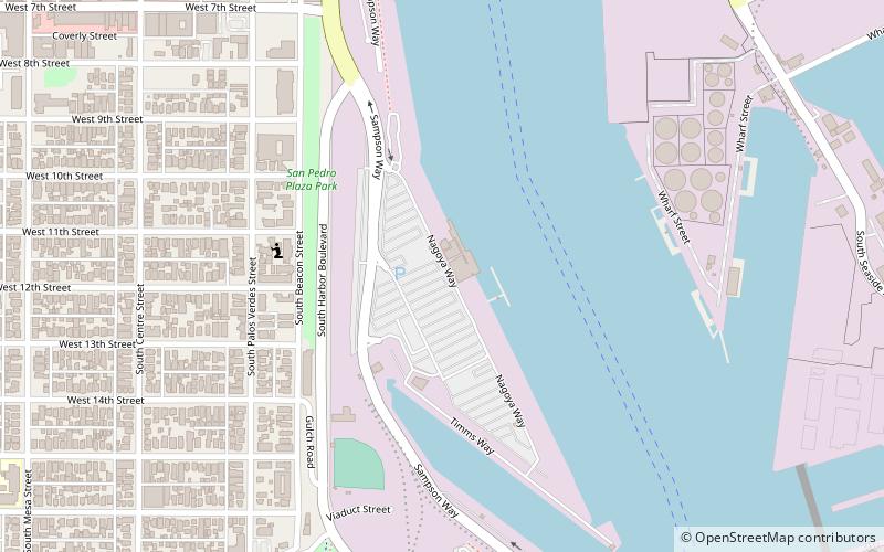
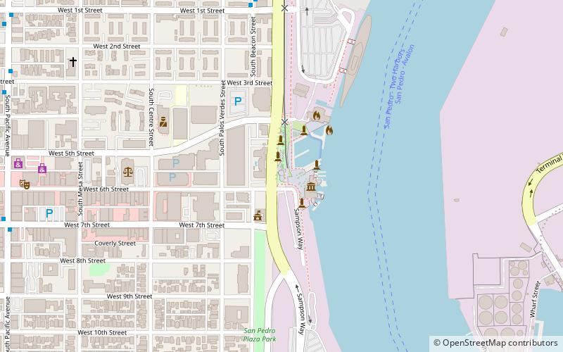
West Harbor is a waterfront food hall and park under development in San Pedro, Los Angeles, California, facing Terminal Island and the Port of Los Angeles. The development is being built on a plot of land measuring 42 acres, on the former site of Ports O' Call Village and San Pedro Public Market. The food hall will house five restaurants and 15 food stalls, as well as retail shops. West Harbor is being developed jointly by Ratkovich Company and Jerico Development. The development will also feature a 3-acre pedestrian promenade and an open-air theater ()
Coordinates: 33°44'1"N, 118°16'40"W
Address
Harbor (Central San Pedro)Rancho Palos Verdes
ContactAdd
Social media
Add
Getting there by public transportation
Public transportation stops near this location
- Bus
- Tram
 Bus
Bus
- Calculate routeSamson Way/Ports O' Call 4 min walk
- Calculate route6th Street/Downtown San Pedro 10 min walk
- Calculate route22nd Street/Marina 11 min walk
- Calculate routeSwinford Street/Cruise Center 27 min walk
- Calculate routePacific Avenue & 11th Street 16 min walk
Day trips


Frequently Asked Questions (FAQ)
Which popular attractions are close to West Harbor?
Nearby attractions include Ports O' Call Village, Los Angeles (2 min walk), Norwegian Seamen's Church, Rancho Palos Verdes (5 min walk), San Pedro Municipal Ferry Building, Los Angeles (9 min walk), Los Angeles Maritime Museum, Los Angeles (10 min walk).
How to get to West Harbor by public transport?
The nearest stations to West Harbor:
Tram
Bus
Tram
- Samson Way/Ports O' Call • Lines: Waterfront Red Car Line (4 min walk)
- 6th Street/Downtown San Pedro • Lines: Waterfront Red Car Line (10 min walk)
Bus
- Pacific Avenue & 11th Street • Lines: J (16 min walk)