Main Street Commercial District, Little Rock
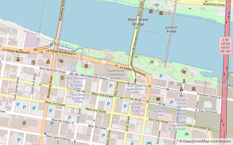
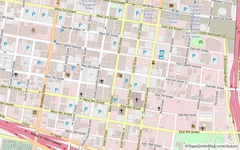
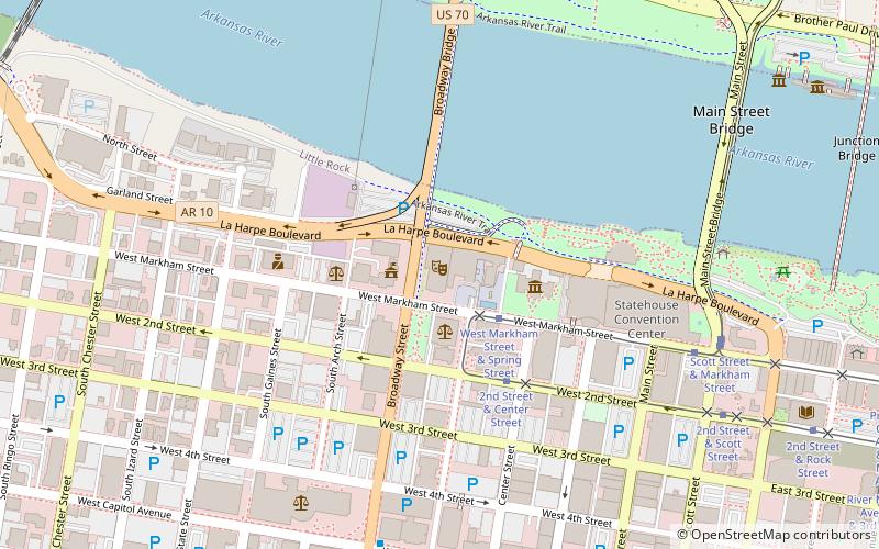
Map
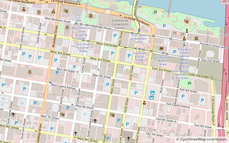
Map

Facts and practical information
The Main Street Commercial District is a historic district encompassing a typical downtown city block of Little Rock, Arkansas, during the first half of the 20th century. The district consists of ten buildings lining the east side of the 300 block of Main Street. This area was completely redeveloped after a fire in February 1900 sparked an explosion at an arms company, levelling the block. The buildings in the district are stylistically diverse, and were built between 1900 and 1955. ()
Coordinates: 34°44'44"N, 92°16'15"W
Address
Downtown Little RockLittle Rock
ContactAdd
Social media
Add
Day trips
Main Street Commercial District – popular in the area (distance from the attraction)
Nearby attractions include: Simmons Bank Arena, Dickey-Stephens Park, Statehouse Convention Center, Arkansas Arts Center.
Frequently Asked Questions (FAQ)
Which popular attractions are close to Main Street Commercial District?
Nearby attractions include Fulk Building, Little Rock (1 min walk), Historic Arkansas Museum, Little Rock (4 min walk), Capitol–Main Historic District, Little Rock (4 min walk), Matt McLeod Fine Art Gallery, Little Rock (4 min walk).
How to get to Main Street Commercial District by public transport?
The nearest stations to Main Street Commercial District:
Tram
Bus
Train
Tram
- 2nd Street & Scott Street • Lines: Blue, Green (4 min walk)
- West Markham Street & Scott Street • Lines: Blue, Green (5 min walk)
Bus
- Central Arkansas Transit Authority Bus Terminal (5 min walk)
- Greyhound.. Little Rock. AR (16 min walk)
Train
- Little Rock (25 min walk)


