Garfield Heights, La Cañada Flintridge
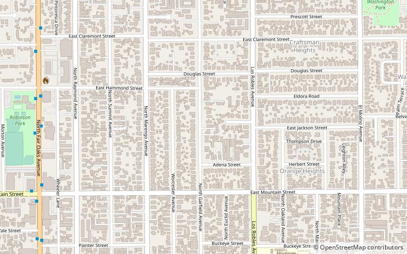
Map
Facts and practical information
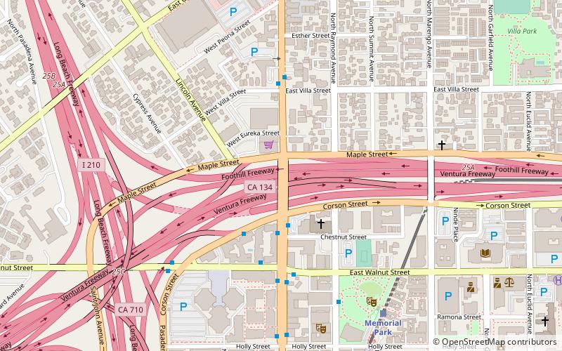
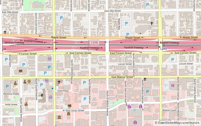
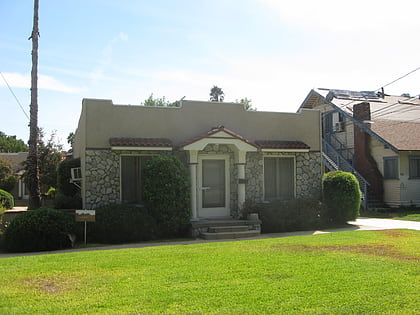
Garfield Heights is a neighborhood in Pasadena, California. The original tract name registered with the city of Pasadena in 1904. In 1998, the area was designated a landmark district. It is bordered by Washington Boulevard to the north, Mountain Street to the south, North Marengo Avenue to the west, and Los Robles Avenue to the east. ()
Coordinates: 34°9'50"N, 118°8'37"W
Address
Northwest Pasadena (Garfield Heights)La Cañada Flintridge
ContactAdd
Social media
Add
Day trips
Garfield Heights – popular in the area (distance from the attraction)
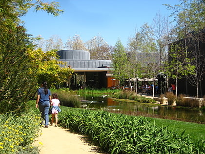
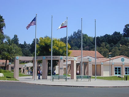
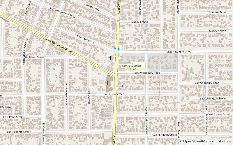
Nearby attractions include: Norton Simon Museum, Rose Bowl Aquatics Center, Lake Avenue, St. Andrew's Catholic Church.
Frequently Asked Questions (FAQ)
Which popular attractions are close to Garfield Heights?
Nearby attractions include Garfield Avenue, La Cañada Flintridge (5 min walk), Orange Heights, La Cañada Flintridge (7 min walk), Court at 940-948 North Raymond Avenue, La Cañada Flintridge (8 min walk), Washington Court, La Cañada Flintridge (11 min walk).
How to get to Garfield Heights by public transport?
The nearest stations to Garfield Heights:
Light rail
Light rail
- Lake • Lines: L (28 min walk)
- Memorial Park • Lines: L (28 min walk)
