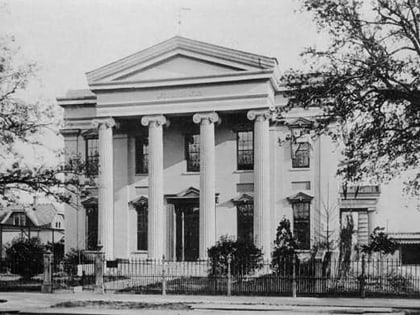
Audubon Place, New Orleans
Map
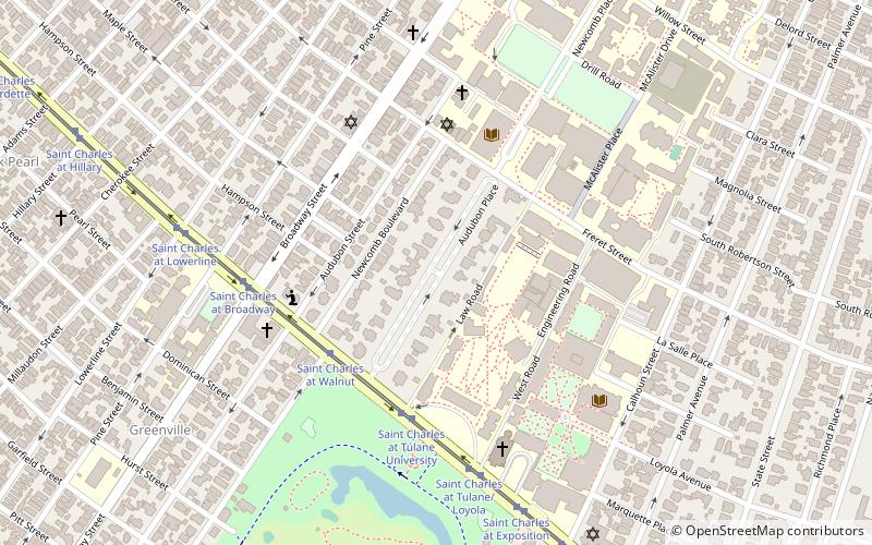
Map

Facts and practical information
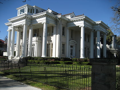
Audubon Place is a privately gated street in New Orleans, adjacent to Tulane University, and across St. Charles Avenue from Audubon Park. ()
Coordinates: 29°56'15"N, 90°7'24"W
Address
Uptown and Carrollton (Audubon)New Orleans
ContactAdd
Social media
Add
Day trips
Audubon Place – popular in the area (distance from the attraction)
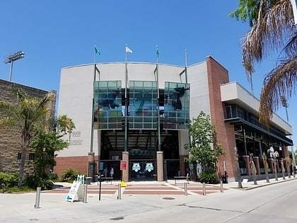
Nearby attractions include: Audubon Zoo, Middle American Research Institute, Greer Field at Turchin Stadium, Audubon Park.
Frequently Asked Questions (FAQ)
Which popular attractions are close to Audubon Place?
Nearby attractions include Freeman School of Business, New Orleans (5 min walk), Middle American Research Institute, New Orleans (5 min walk), Loyola University New Orleans, New Orleans (6 min walk), Newcomb Art Museum, New Orleans (8 min walk).
How to get to Audubon Place by public transport?
The nearest stations to Audubon Place:
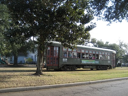
Tram
Tram
- Saint Charles at Walnut • Lines: 12 (5 min walk)
