SS Ste. Claire, Detroit
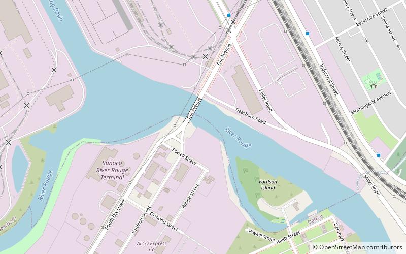
Map
Facts and practical information
SS Ste. Claire is a steamer located in Detroit, Michigan. Built in 1910, she was one of the last propeller-driven excursion steamers to be operated on the Great Lakes. She was declared a US National Historic Landmark in 1992. In 2018, a devastating fire destroyed the upper decks, leaving only the steel structure. ()
Coordinates: 42°17'45"N, 83°9'2"W
Address
Vernor (Oakwood Heights)Detroit
ContactAdd
Social media
Add
Getting there by public transportation
Public transportation stops near this location
- Bus
 Bus
Bus
- Calculate routeMiller / Dix 7 min walk
- Calculate routeIndustrial / Riverside 10 min walk
Day trips


Frequently Asked Questions (FAQ)
Which popular attractions are close to SS Ste. Claire?
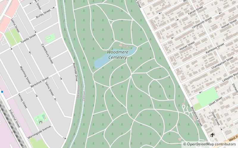
Nearby attractions include Dearborn Mosque, Dearborn (18 min walk), Woodmere Cemetery, Detroit (19 min walk), Fort Street–Pleasant Street and Norfolk & Western Railroad Viaduct, Detroit (21 min walk).
How to get to SS Ste. Claire by public transport?
The nearest stations to SS Ste. Claire:
Bus
Bus
- Miller / Dix • Lines: 54 (7 min walk)
- Industrial / Riverside • Lines: 54 (10 min walk)