Dearborn Mosque, Dearborn
Map

Map

Facts and practical information
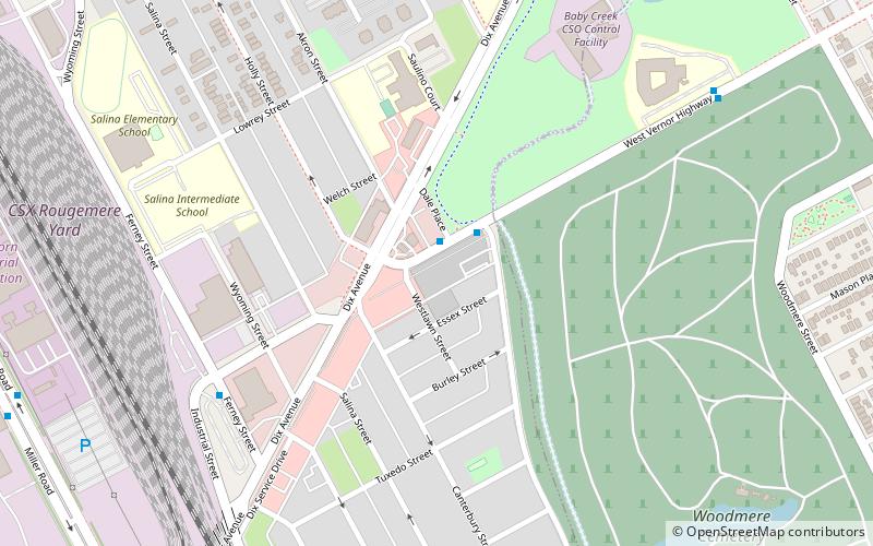
Dearborn Mosque is a mosque belonging to the American Muslim Society in Dearborn, Michigan. It was built in 1937 by the nascent Islamic community, and was only the second mosque constructed in the United States. The building is three stories high and almost an entire city block on the intersection of Vernor and Dix Streets. ()
Coordinates: 42°18'16"N, 83°8'37"W
Address
Dearborn (CSRD)Dearborn
ContactAdd
Social media
Add
Day trips
Dearborn Mosque – popular in the area (distance from the attraction)
Nearby attractions include: Woodmere Cemetery, SS Ste. Claire, Holy Cross Hungarian Roman Catholic Church, Springwells.
Frequently Asked Questions (FAQ)
Which popular attractions are close to Dearborn Mosque?
Nearby attractions include Woodmere Cemetery, Detroit (12 min walk), West Vernor–Lawndale Historic District, Detroit (17 min walk), SS Ste. Claire, Detroit (18 min walk).
How to get to Dearborn Mosque by public transport?
The nearest stations to Dearborn Mosque:
Bus
Bus
- Vernor / Dale Pl • Lines: 01 (1 min walk)
- Ferney / Vernor • Lines: 54 (7 min walk)


