Gambles Hill, Richmond
Map

Gallery

Facts and practical information
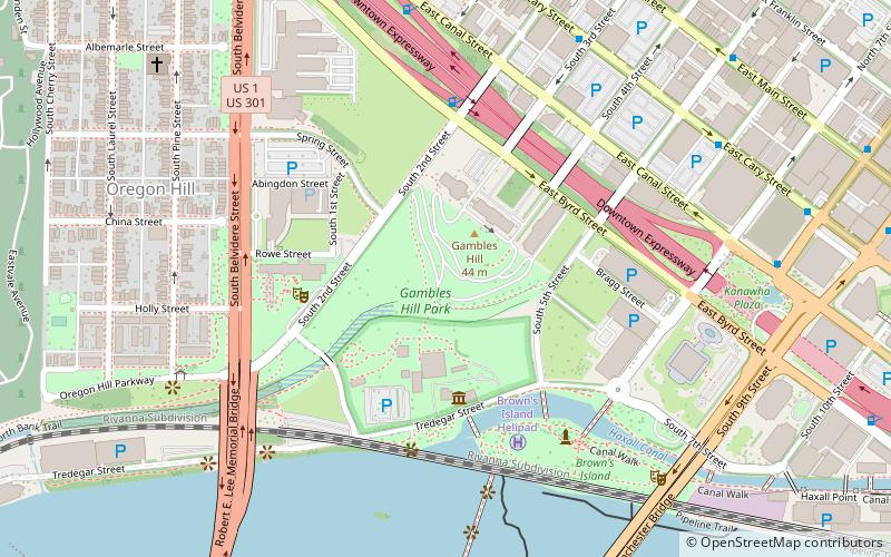
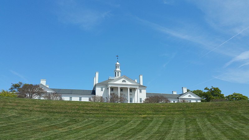
Gambles Hill is a neighborhood near Downtown Richmond, Virginia. The neighborhood contains the Virginia War Monument, Historic Tredegar, Brown's Island and the WestRock Corporation. ()
Coordinates: 37°32'13"N, 77°26'43"W
Address
Downtown Richmond (Gambles Hill)Richmond
ContactAdd
Social media
Add
Day trips
Gambles Hill – popular in the area (distance from the attraction)
Nearby attractions include: Tredegar Iron Works, Altria Theater, The National, Virginia War Memorial.
Frequently Asked Questions (FAQ)
Which popular attractions are close to Gambles Hill?
Nearby attractions include Tredegar Iron Works, Richmond (3 min walk), Richmond National Battlefield Park, Richmond (3 min walk), Virginia War Memorial, Richmond (5 min walk), Henry Coalter Cabell House, Richmond (6 min walk).
How to get to Gambles Hill by public transport?
The nearest stations to Gambles Hill:
Bus
Train
Bus
- A • Lines: 1A, 1C (20 min walk)
- Cary & Harrison • Lines: 5 (20 min walk)
Train
- Richmond Main Street (23 min walk)


