Covedale, Cincinnati
Map
Facts and practical information
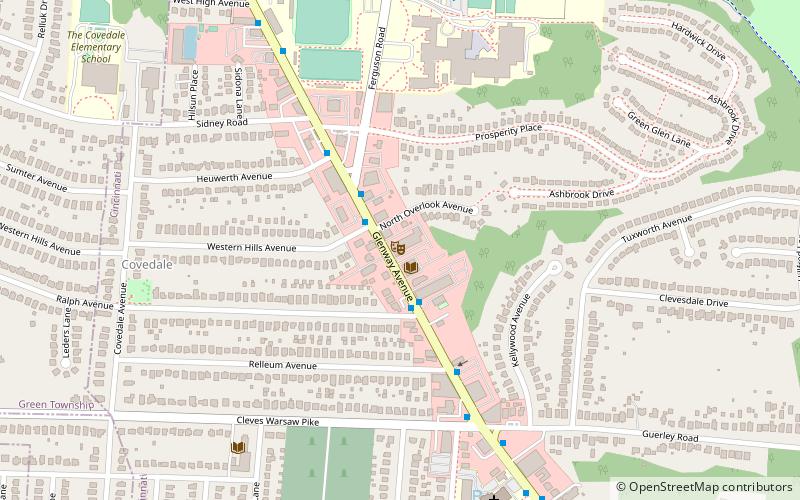
Covedale is a former village in Hamilton County, Ohio, United States. The main area of the village was annexed by the city of Cincinnati and is now a neighborhood of about 15,000 people in the western part of the city. When it was annexed, the village disincorporated and its remaining area reverted to Green Township, with a small fragment going to Delhi Township. ()
Coordinates: 39°7'36"N, 84°38'11"W
Address
CovedaleCincinnati
ContactAdd
Social media
Add
Getting there by public transportation
Public transportation stops near this location
- Bus
 Bus
Bus
- Calculate routeSylved Ln & Sidney Ave 20 min walk
- Calculate routeSidney Ave & Sylved Ln 20 min walk
Day trips


Frequently Asked Questions (FAQ)
How to get to Covedale by public transport?
The nearest stations to Covedale:
Bus
Bus
- Sylved Ln & Sidney Ave • Lines: 41 (20 min walk)
- Sidney Ave & Sylved Ln • Lines: 41 (20 min walk)