Wrigley, Long Beach
Map

Map

Facts and practical information
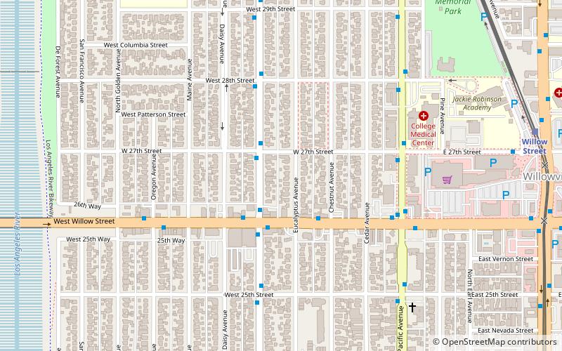
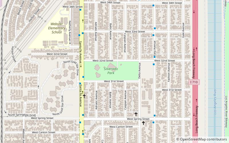
Wrigley is a group of neighborhoods in Long Beach, California. It includes the neighborhoods North Wrigley, South Wrigley, Southeast Wrigley and Wrigley Heights. Its name derives from William Wrigley Jr. the owner and founder of the famed Wrigley Spearmint Gum Empire in Chicago. It was one of the first communities established in Long Beach. With the exception of Wrigley Heights, the area is developed throughout on a gridiron street pattern. ()
Coordinates: 33°48'20"N, 118°11'51"W
Address
Long Beach (North Wrigley)Long Beach
ContactAdd
Social media
Add
Day trips
Wrigley – popular in the area (distance from the attraction)
Nearby attractions include: Silverado Park, Los Angeles River bicycle path, West Long Beach, Burnett Branch Long Beach Public Library.
Frequently Asked Questions (FAQ)
How to get to Wrigley by public transport?
The nearest stations to Wrigley:
Bus
Light rail
Bus
- Willow & Magnolia Southeast • Lines: 104 (3 min walk)
Light rail
- Willow Street • Lines: A (12 min walk)
- Wardlow • Lines: A (26 min walk)


