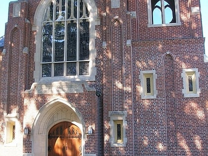
West Side of Stamford, Stamford
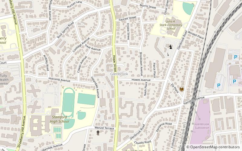
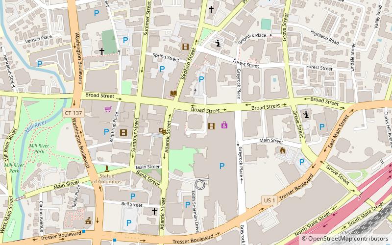
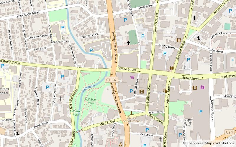
Map
Facts and practical information
The West Side of Stamford is the area immediately west of Downtown Stamford, covering the area north of Interstate 95 between the Greenwich town line and the Rippowam River. The northern boundary is commonly taken as West Broad Street and Palmers Hill Road. Another version of the boundaries of the West Side has it located between Stillwater Avenue, Broad Street, West Main Street and West Avenue up to Exit 6 Interstate 95. ()
Coordinates: 41°3'53"N, 73°31'34"W
Address
Springdale - Glenbrook - Belltown (Glenbrook)Stamford
ContactAdd
Social media
Add
Day trips
West Side of Stamford – popular in the area (distance from the attraction)
Nearby attractions include: Stamford Town Center, Stamford Center for the Arts, Old Town Hall, One Landmark Square.
Frequently Asked Questions (FAQ)
Which popular attractions are close to West Side of Stamford?
Nearby attractions include Saint Maurice Church, Stamford (6 min walk), St. Vladimir's Cathedral, Stamford (6 min walk), Ukrainian Catholic Eparchy of Stamford, Stamford (10 min walk), Zion Lutheran Church, Stamford (10 min walk).
How to get to West Side of Stamford by public transport?
The nearest stations to West Side of Stamford:
Train
Train
- Glenbrook (14 min walk)


