Hillen, Baltimore
Map
Map

Facts and practical information
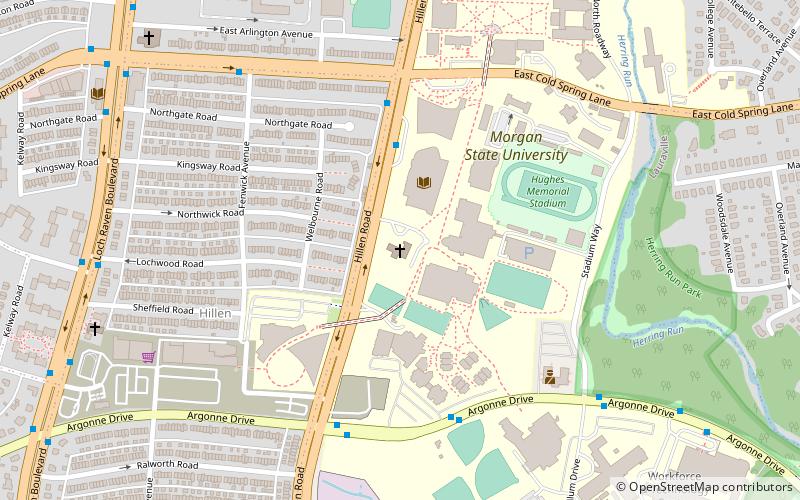
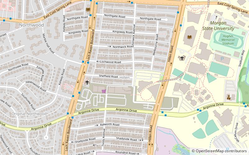
Hillen is a small community just west of Hillen Road and Morgan State University and south of Coldspring Lane in Baltimore, Maryland, United States. ()
Coordinates: 39°20'31"N, 76°35'24"W
Address
Northeastern Baltimore (Hillen)Baltimore
ContactAdd
Social media
Add
Day trips
Hillen – popular in the area (distance from the attraction)
Nearby attractions include: Lake Montebello, Columbus Obelisk, Morgan State University Memorial Chapel, St. John's Episcopal Church.
Frequently Asked Questions (FAQ)
Which popular attractions are close to Hillen?
Nearby attractions include Morgan State University Memorial Chapel, Baltimore (6 min walk), Stonewood-Pentwood-Winston, Baltimore (7 min walk), Sydenham Hospital for Communicable Diseases, Baltimore (16 min walk), Ednor Gardens-Lakeside, Baltimore (20 min walk).
How to get to Hillen by public transport?
The nearest stations to Hillen:
Bus
Bus
- York Road & 43rd Street Northbound • Lines: 52, Rd (27 min walk)
- Greenmount Avenue & Rose Hill Terrace Opposite Southbound • Lines: 52, Rd (28 min walk)


