Ransom Place Historic District, Indianapolis
Map

Map

Facts and practical information
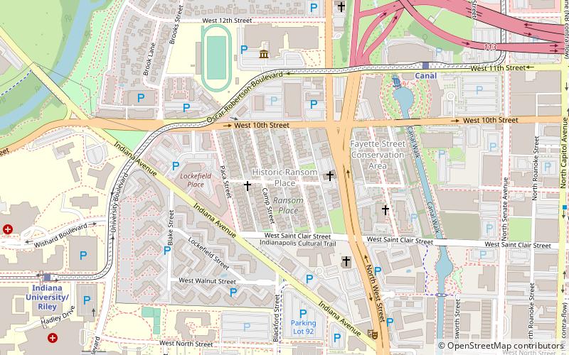
Ransom Place Historic District is a national historic district located at Indianapolis, Indiana. The district encompasses 74 contributing buildings in a historically African-American residential section of Indianapolis. It was developed between about 1890 and 1942, and include representative examples of Queen Anne style architecture. Notable buildings include the Light of the World Christian Church. ()
Coordinates: 39°46'47"N, 86°10'11"W
Address
Downtown Indianapolis (Indiana Avenue)Indianapolis
ContactAdd
Social media
Add
Day trips
Ransom Place Historic District – popular in the area (distance from the attraction)
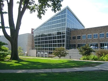
Nearby attractions include: Indiana University Natatorium, Indiana State Museum, Scottish Rite Cathedral, Indiana Historical Society.
Frequently Asked Questions (FAQ)
Which popular attractions are close to Ransom Place Historic District?
Nearby attractions include Madame Walker Theatre Center, Indianapolis (8 min walk), Flanner House Homes, Indianapolis (9 min walk), Indiana Avenue, Indianapolis (11 min walk), Kahn Tailoring Company Building, Indianapolis (12 min walk).
How to get to Ransom Place Historic District by public transport?
The nearest stations to Ransom Place Historic District:
Train
Bus
Train
- Canal (8 min walk)
- Indiana University/Riley (11 min walk)
Bus
- FlixBus Indianapolis • Lines: 2511 (31 min walk)
- G • Lines: 39 (31 min walk)


