Tennessee Riverwalk, Chattanooga
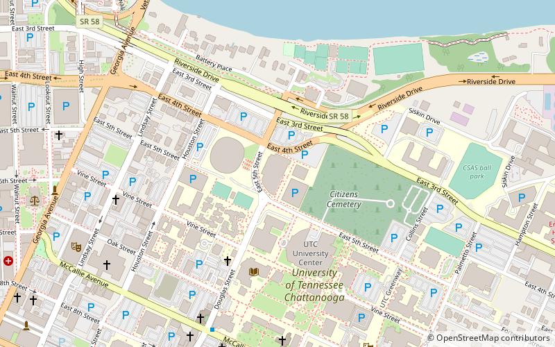
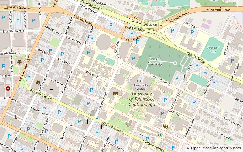
Map
Facts and practical information
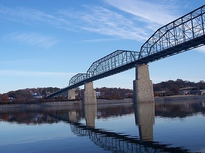
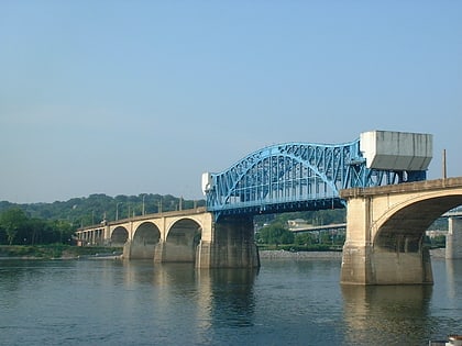
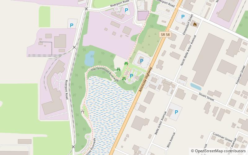
The Tennessee Riverwalk is a 13-mile riverside path which parallels the Tennessee River from the Chickamauga Dam to downtown Chattanooga, Tennessee. It is part of the Tennessee Riverpark System featuring the Tennessee Riverpark, Coolidge Park, Renaissance Park, Ross's Landing, the Walnut Street Bridge, the Blue Goose Hollow section and the old U.S. Pipe property. ()
Coordinates: 35°4'38"N, 85°16'4"W
Address
Chattanooga
ContactAdd
Social media
Add
Day trips
Tennessee Riverwalk – popular in the area (distance from the attraction)
Nearby attractions include: McKenzie Arena, Maclellan Gymnasium, Engel Stadium, Chattanooga Zoo.
Frequently Asked Questions (FAQ)
How to get to Tennessee Riverwalk by public transport?
The nearest stations to Tennessee Riverwalk:
Train
Train
- Chattanooga East Station (38 min walk)
