Providence Street Historic District, Worcester
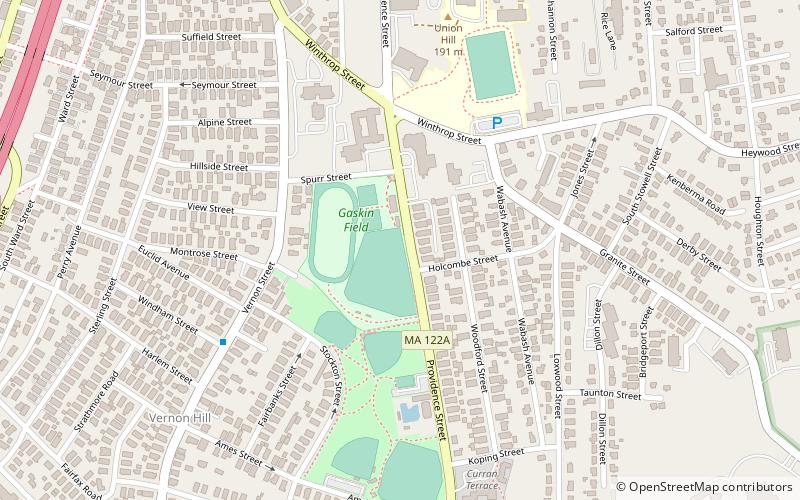
Map

Map

Facts and practical information
The Providence Street Historic District is a historic district in Worcester, Massachusetts. It includes a cohesive collection of triple decker houses built in the late 1920s in the Vernon Hill section of the city. The ten primary buildings in the 1.39-acre district are fine examples of Colonial Revival and Craftsman styling; there are also seven period garages. The district was listed on the National Register of Historic Places in 1990. ()
Coordinates: 42°14'47"N, 71°47'32"W
Address
South Worcester (Vernon Hill)Worcester
ContactAdd
Social media
Add
Day trips
Providence Street Historic District – popular in the area (distance from the attraction)
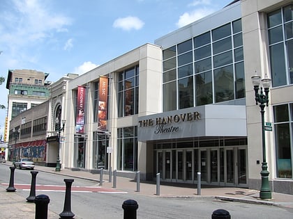
Nearby attractions include: Worcester City Hall and Common, Hanover Theatre, Crompton Collective, Our Lady of Czestochowa Parish.
Frequently Asked Questions (FAQ)
Which popular attractions are close to Providence Street Historic District?
Nearby attractions include Ludwig Anderson Three-Decker, Worcester (5 min walk), Peter Baker Three-Decker, Worcester (6 min walk), Woodford Street Historic District, Worcester (6 min walk), George Fontaine Three-Decker, Worcester (7 min walk).
How to get to Providence Street Historic District by public transport?
The nearest stations to Providence Street Historic District:
Bus
Train
Bus
- WRTA Transportation Hub (26 min walk)
- Worcester Bus Station (27 min walk)
Train
- Worcester (27 min walk)


