Poppy Peak Historic District, La Cañada Flintridge
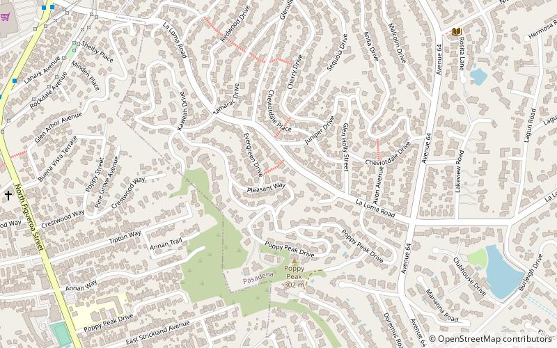
Map
Gallery
Facts and practical information
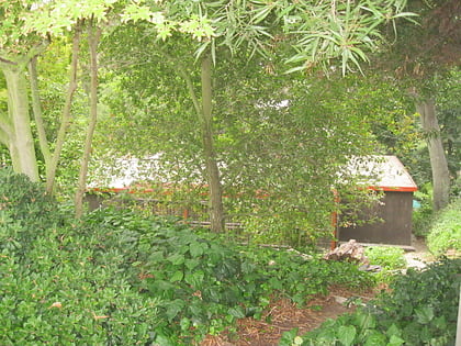
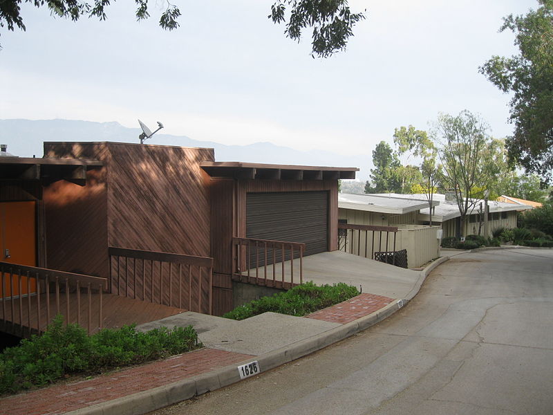
The Poppy Peak Historic District is a neighborhood and historic district located in the southwest corner of Pasadena, California. The neighborhood is located on the side of Poppy Peak, a 991-foot-high mountain of the San Rafael Hills. Developer William Carr platted the neighborhood in 1924. The homes in the district were designed by a number of significant Modern Movement architects. The district was added to the National Register of Historic Places in 2009. ()
Coordinates: 34°7'56"N, 118°10'52"W
Address
West Pasadena (Annandale)La Cañada Flintridge
ContactAdd
Social media
Add
Day trips
Poppy Peak Historic District – popular in the area (distance from the attraction)
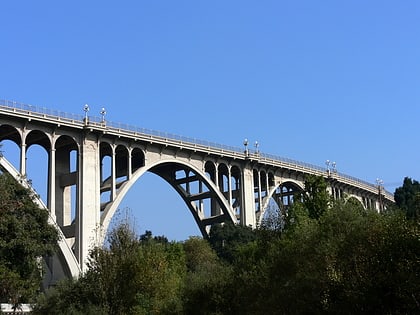
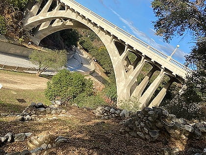
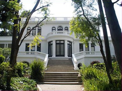
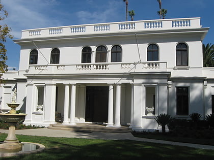
Nearby attractions include: Colorado Street Bridge, San Rafael Bridge, Pasadena Museum of History, Fenyes Estate.
Frequently Asked Questions (FAQ)
Which popular attractions are close to Poppy Peak Historic District?
Nearby attractions include Constance Perkins House, La Cañada Flintridge (4 min walk), John Norton House, La Cañada Flintridge (14 min walk), Richard and Mary Alice Frank House, La Cañada Flintridge (19 min walk), La Loma Bridge, Los Angeles (21 min walk).
How to get to Poppy Peak Historic District by public transport?
The nearest stations to Poppy Peak Historic District:
Bus
Bus
- Garvanza / Avenue 63 • Lines: 258 (29 min walk)
- Pasadena / Mission • Lines: 258 (37 min walk)

