Amelia Earhart Dam, Boston
Map
Map

Facts and practical information
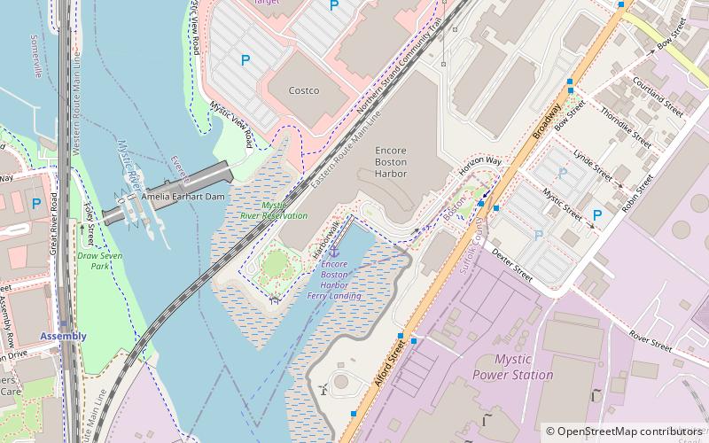
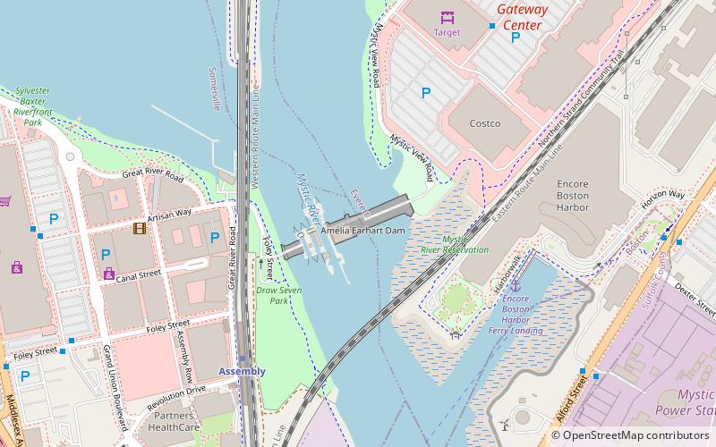
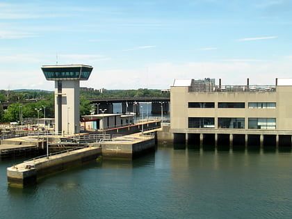
The Amelia Earhart Dam is an earth-fill dam spanning the Mystic River near its mouth between Somerville and Everett, Massachusetts. It was built in 1966 to regulate tidal effects and the incursion of salt water in the upstream river basin. It has 3 locks for marine traffic. The largest is 325 feet long, and 45 feet wide; the two smaller locks are 120 feet long and, 22 feet wide. There is no public access to the dam. ()
Coordinates: 42°23'42"N, 71°4'28"W
Address
Everett (Lower Mystic Basin)Boston
ContactAdd
Social media
Add
Day trips
Amelia Earhart Dam – popular in the area (distance from the attraction)
Nearby attractions include: Legoland Discovery Center Boston, Assembly Square, House at 29 Mt. Vernon Street, Somerville City Hall.
Frequently Asked Questions (FAQ)
Which popular attractions are close to Amelia Earhart Dam?
Nearby attractions include Encore Boston Harbor, Boston (6 min walk), Legoland Discovery Center Boston, Boston (7 min walk), Assembly Square, Boston (8 min walk), Ten Hills, Boston (17 min walk).
How to get to Amelia Earhart Dam by public transport?
The nearest stations to Amelia Earhart Dam:
Metro
Bus
Metro
- Assembly • Lines: Orange (6 min walk)
- Wellington • Lines: Orange (13 min walk)
Bus
- Cambridge St @ Brighton St • Lines: 91 (23 min walk)
- Washington St @ Inner Belt Rd • Lines: 91 (25 min walk)
 MBTA Subway

