Torpedo Wharf, San Francisco
Map

Gallery
Facts and practical information
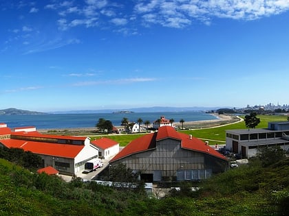
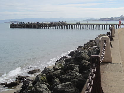
Torpedo Wharf is a wharf in the Presidio of San Francisco, in the U.S. state of California. The site has been a wharf since 1854, and earned its current name when the United States Army built a naval mine depot c. 1907–1909. The current wharf was established in 1941, and now serves as a popular tourist destination. ()
Coordinates: 37°48'33"N, 122°28'12"W
Day trips
Torpedo Wharf – popular in the area (distance from the attraction)
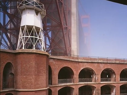
Nearby attractions include: Golden Gate Bridge, Fort Point National Historic Site, Palace of Fine Arts, Presidio of San Francisco.
Frequently Asked Questions (FAQ)
Which popular attractions are close to Torpedo Wharf?
Nearby attractions include House of Air, San Francisco (8 min walk), Greater Farallones National Marine Sanctuary, San Francisco (8 min walk), Fort Point National Historic Site, San Francisco (11 min walk), Fort Point Light, San Francisco (11 min walk).
How to get to Torpedo Wharf by public transport?
The nearest stations to Torpedo Wharf:
Bus
Bus
- Golden Gate Bridge Toll Plaza • Lines: 101, 101X, 18, 2, 24, 24C, 24X, 27, 30, 38, 38A, 4, 4C, 54, 54C, 56X, 58, 70, 72, 72X, 74, 76, 8, 92 (9 min walk)
- Sports Basement Parking Lot • Lines: 30 (19 min walk)
 Muni Metro


