East Side of Stamford, Stamford
Facts and practical information
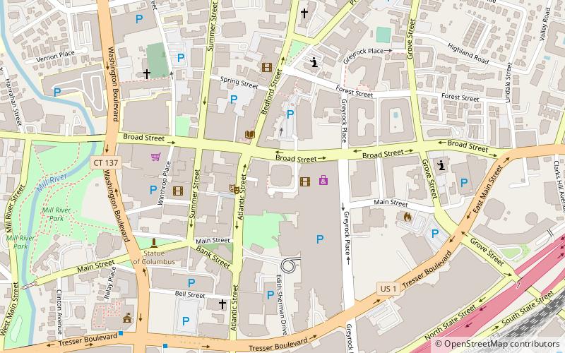
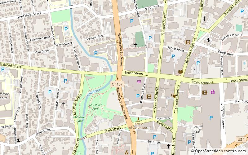
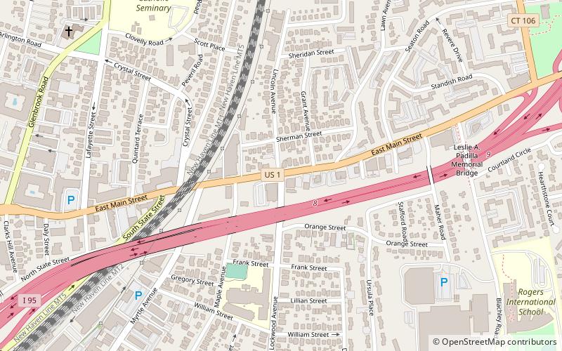
The East Side of Stamford, Connecticut is a neighborhood southeast of Downtown, north of Shippan, and northwest of The Cove and south of Glenbrook. It is mostly to the south of Interstate 95 but covers both sides of East Main Street. Stamford’s East Main Street is part of U.S. Route 1. Before I-95 was built in the early 60′s, Route 1 was Connecticut’s most critical highway. Its physical location follows old 18th century mail routes and toll roads. It is still referred to in some communities as “the King’s Highway” or “the Boston Post Road.” Stamford’s growth can be traced by looking at the changes that have occurred along East Main Street. Little more than 100 years ago there was, by comparison to today, almost no development between Elm Street and the Noroton River. However, the East Side – bounded by Glenbrook Road and Hamilton Avenue to the North; Cove Rd to the South; Weed Ave to the East; and Grove and Elm Streets to the West – are easily identifiable on turn of the century maps. ()
Springdale - Glenbrook - Belltown (Glenbrook)Stamford
East Side of Stamford – popular in the area (distance from the attraction)
Nearby attractions include: Stamford Town Center, Stamford Center for the Arts, Cove Island Park, Old Town Hall.
Frequently Asked Questions (FAQ)
Which popular attractions are close to East Side of Stamford?
How to get to East Side of Stamford by public transport?
Train
- Glenbrook (27 min walk)
- Stamford (32 min walk)


