Lincoln Arcade, New York City
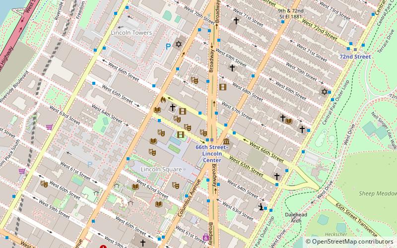
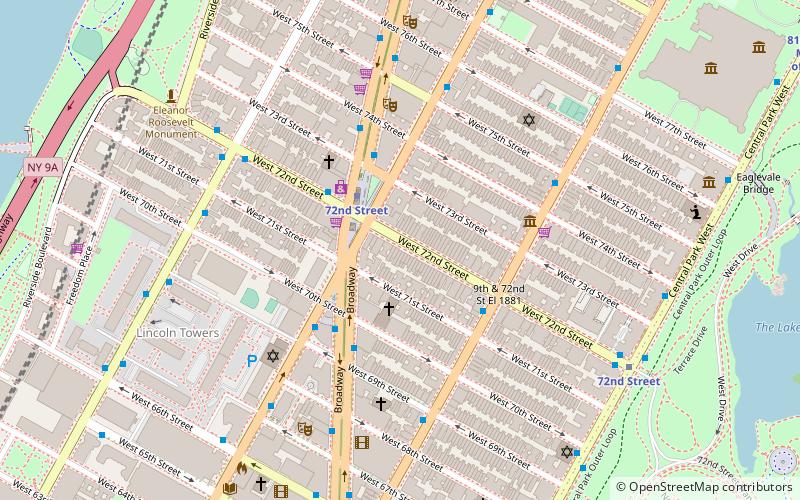
Map
Facts and practical information
The Lincoln Arcade was a commercial building near Lincoln Square in the Upper West Side of Manhattan, New York City, just west of Central Park. Built in 1903, it was viewed by contemporaries as a sign of the northward extension of business-oriented real estate ventures, and the shops, offices, and other enterprises. ()
Coordinates: 40°46'26"N, 73°58'58"W
Address
Upper Manhattan (Upper West Side)New York City
ContactAdd
Social media
Add
Day trips
Lincoln Arcade – popular in the area (distance from the attraction)
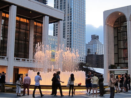
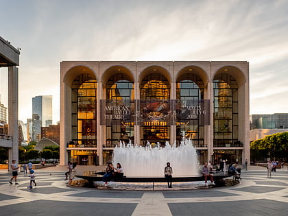
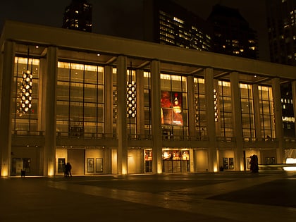
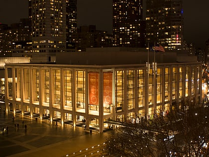
Nearby attractions include: Revson Fountain, Lincoln Center for the Performing Arts, Metropolitan Opera House, David H. Koch Theater.
Frequently Asked Questions (FAQ)
Which popular attractions are close to Lincoln Arcade?
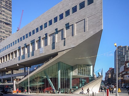
Nearby attractions include Juilliard School, New York City (1 min walk), Alice Tully Hall, New York City (1 min walk), Lincoln Square, New York City (2 min walk), Reclining Figure, New York City (2 min walk).
How to get to Lincoln Arcade by public transport?
The nearest stations to Lincoln Arcade:
Bus
Metro
Ferry
Bus
- Broadway & West 66th Street • Lines: M104, M7 (2 min walk)
- Columbus Avenue & West 66th Street • Lines: M11, M7 (2 min walk)
Metro
- 66th Street–Lincoln Center • Lines: 1, 2 (2 min walk)
- 72nd Street • Lines: 1, 2, 3, A, B, C (9 min walk)
Ferry
- Midtown/West 39th Street (37 min walk)
 Subway
 Manhattan Buses