Upper West Side, New York City
Map
Gallery
Facts and practical information
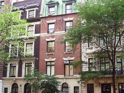
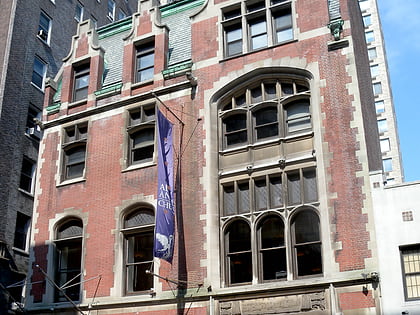
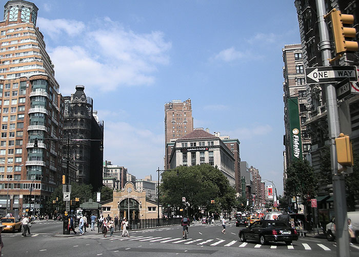
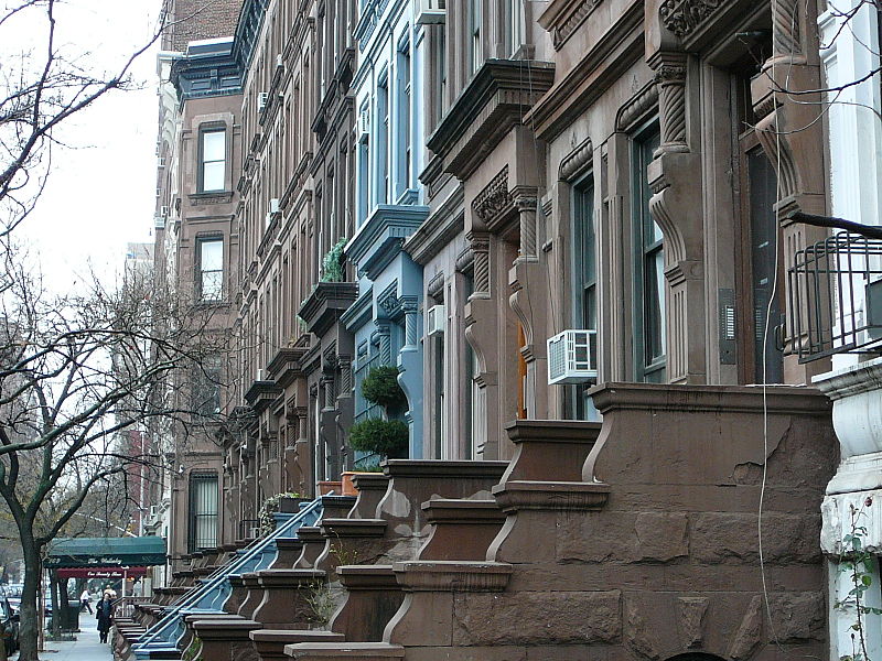
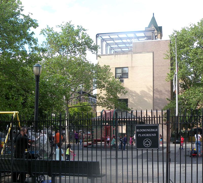
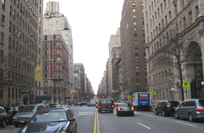
The Upper West Side is a neighborhood in the borough of Manhattan in New York City. It is bounded by Central Park on the east, the Hudson River on the west, West 59th Street to the south, and West 110th Street to the north. The Upper West Side is adjacent to the neighborhoods of Hell's Kitchen to the south, Columbus Circle to the southeast, and Morningside Heights to the north. ()
Day trips
Upper West Side – popular in the area (distance from the attraction)
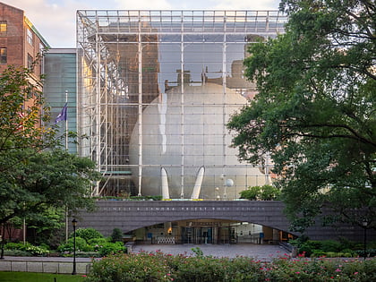
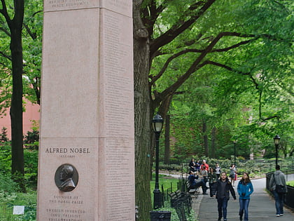
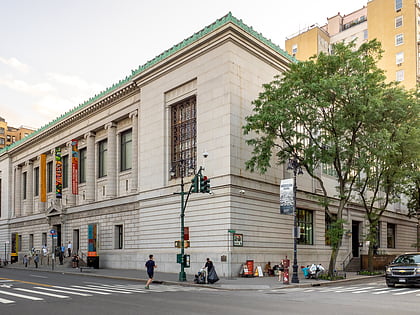
Nearby attractions include: American Museum of Natural History, Hayden Planetarium, Nobel Monument, New-York Historical Society.
Frequently Asked Questions (FAQ)
Which popular attractions are close to Upper West Side?
Nearby attractions include West-Park Presbyterian Church, New York City (2 min walk), The Jewish Center, New York City (3 min walk), Children's Museum of Manhattan, New York City (4 min walk), Church of St. Paul and St. Andrew, New York City (5 min walk).
How to get to Upper West Side by public transport?
The nearest stations to Upper West Side:
Bus
Metro
Bus
- W 86th St / Amsterdam Ave • Lines: M86 (2 min walk)
- Broadway & West 86th Street • Lines: M104 (3 min walk)
Metro
- 86th Street • Lines: 1, 2 (5 min walk)
- 79th Street • Lines: 1, 2 (9 min walk)



 Subway
 Manhattan Buses
