Wamesit Canal-Whipple Mill Industrial Complex, Lowell
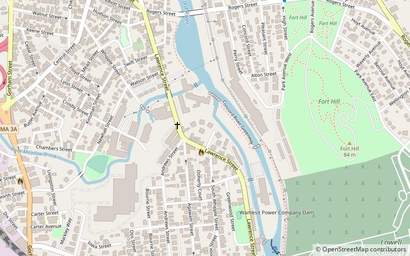
Map

Map

Facts and practical information
The Wamesit Canal-Whipple Mill Industrial Complex is a historic mill and canal at 576 Lawrence Street in Lowell, Massachusetts. This industrial area of Lowell, located on the Concord River, underwent a major expansion from a more modest millworks in the mid-19th century by Oliver Whipple, a manufacturer of gunpowder. ()
Coordinates: 42°37'57"N, 71°18'3"W
Address
Lowell (South Lowell)Lowell
ContactAdd
Social media
Add
Day trips
Wamesit Canal-Whipple Mill Industrial Complex – popular in the area (distance from the attraction)
Nearby attractions include: New England Quilt Museum, Boott Mills, Tsongas Center at UMass Lowell, Lowell National Historical Park.
Frequently Asked Questions (FAQ)
Which popular attractions are close to Wamesit Canal-Whipple Mill Industrial Complex?
Nearby attractions include Rogers Fort Hill Park Historic District, Lowell (8 min walk), Lowell Cemetery, Lowell (12 min walk), Holy Trinity Parish, Lowell (14 min walk), Colburn School, Lowell (14 min walk).
How to get to Wamesit Canal-Whipple Mill Industrial Complex by public transport?
The nearest stations to Wamesit Canal-Whipple Mill Industrial Complex:
Bus
Train
Tram
Bus
- Lowell Superior Court • Lines: 3, 9 (14 min walk)
- Church St and Lawrence St • Lines: 3 (17 min walk)
Train
- Lowell (20 min walk)
Tram
- Lower Locks • Lines: Lowell National Park Trolley (23 min walk)
- Swamp Locks • Lines: Lowell National Park Trolley (26 min walk)


