Wallabout, Sea Gate
Map

Map

Facts and practical information
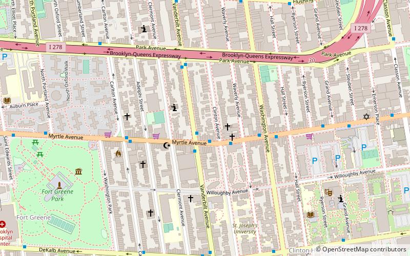
Wallabout is a neighborhood in the New York City borough of Brooklyn that dates back to the 17th century. It is one of the oldest areas of Brooklyn, in the area that was once Wallabout Bay but has largely been filled in and is now the Brooklyn Navy Yard. ()
Coordinates: 40°41'37"N, 73°58'10"W
Address
Northwestern Brooklyn (Clinton Hill)Sea Gate
ContactAdd
Social media
Add
Day trips
Wallabout – popular in the area (distance from the attraction)
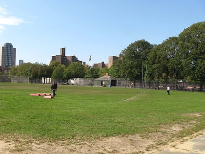
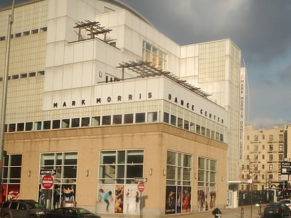
Nearby attractions include: Atlantic Terminal, Golconda Playground, Commodore Barry Park, Mark Morris Dance Center.
Frequently Asked Questions (FAQ)
Which popular attractions are close to Wallabout?
Nearby attractions include Lefferts-Laidlaw House, Sea Gate (1 min walk), Wallabout Historic District, Sea Gate (2 min walk), Feuchtwanger Stable, Sea Gate (5 min walk), Caroline Ladd Pratt House, Sea Gate (5 min walk).
How to get to Wallabout by public transport?
The nearest stations to Wallabout:
Bus
Metro
Train
Bus
- Vanderbilt Avenue & Myrtle Avenue • Lines: B69 (1 min walk)
- Myrtle Avenue & Clinton Avenue • Lines: B54 (2 min walk)
Metro
- Clinton–Washington Avenues • Lines: G (11 min walk)
- Fulton Street • Lines: G (13 min walk)
Train
- Atlantic Terminal (19 min walk)
- Nostrand Avenue (39 min walk)


