Piedmont Heights, Atlanta
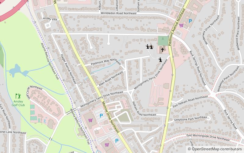
Map
Facts and practical information
Piedmont Heights is an intown neighborhood on the east side of Atlanta, Georgia, founded in the early 20th century as a streetcar suburb. It is located between the BeltLine on the west; across from the Sherwood Forest neighborhood; I-85 on the north, across from an industrial area; and Piedmont Avenue/Road and Morningside-Lenox Park on the east. ()
Coordinates: 33°48'11"N, 84°22'15"W
Getting there by public transportation
Public transportation stops near this location
- Metro
 Metro
Metro
- Calculate routeArts Center 35 min walk
Day trips


Frequently Asked Questions (FAQ)
Which popular attractions are close to Piedmont Heights?
Nearby attractions include Rock Spring Presbyterian Church, Atlanta (5 min walk), Ansley Park, Atlanta (18 min walk), Morningside/Lenox Park, Atlanta (21 min walk), Morningside Nature Preserve, Atlanta (22 min walk).
How to get to Piedmont Heights by public transport?
The nearest stations to Piedmont Heights:
Metro
Metro
- Arts Center • Lines: Gold, Red (35 min walk)