Whittall Mills, Worcester
Map

Map

Facts and practical information
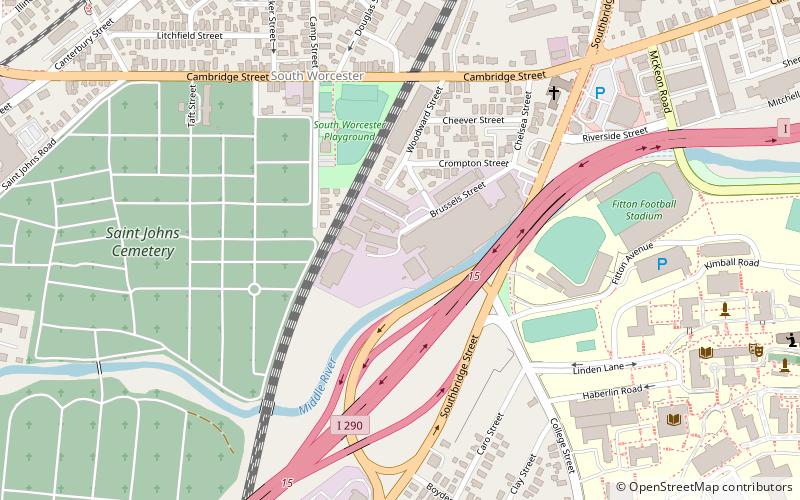
The Whittall Mills is an historic industrial complex in southern Worcester, Massachusetts. The complex, which was built between 1870 and 1930, is a reminder of the large carpet manufacturing business that was once a major presence in the city. It is a complex of 15 brick buildings located on a bend of the Middle River, south of Crompton Street and just west of Interstate 290. ()
Coordinates: 42°14'27"N, 71°48'54"W
Address
South Worcester (Southern Worcester)Worcester
ContactAdd
Social media
Add
Day trips
Whittall Mills – popular in the area (distance from the attraction)
Nearby attractions include: Crompton Collective, College of the Holy Cross, Pilgrim Congregational Church, St. Mark's Episcopal Church.
Frequently Asked Questions (FAQ)
Which popular attractions are close to Whittall Mills?
Nearby attractions include St. Matthew's Episcopal Church, Worcester (6 min walk), Cambridge Street School, Worcester (8 min walk), South Worcester Branch Library, Worcester (8 min walk), Catherine Ahern Three-Decker, Worcester (11 min walk).


