West 7th Street Historic District, Little Rock
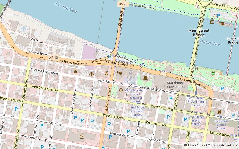
Map
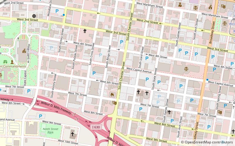
Map

Facts and practical information
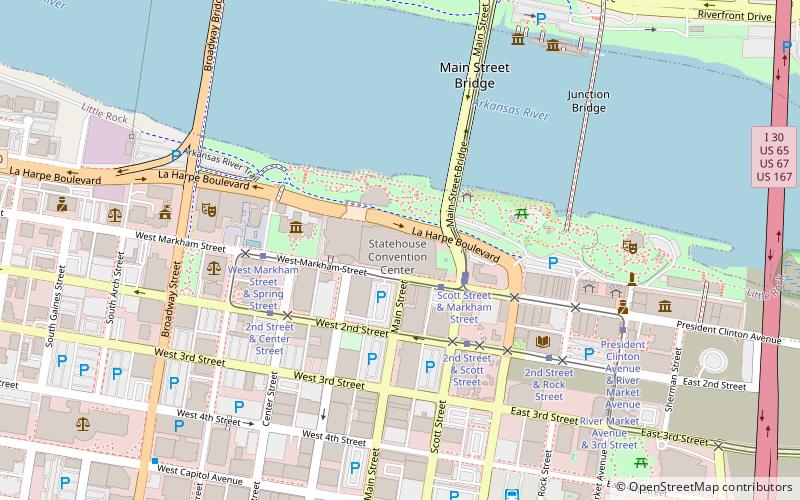
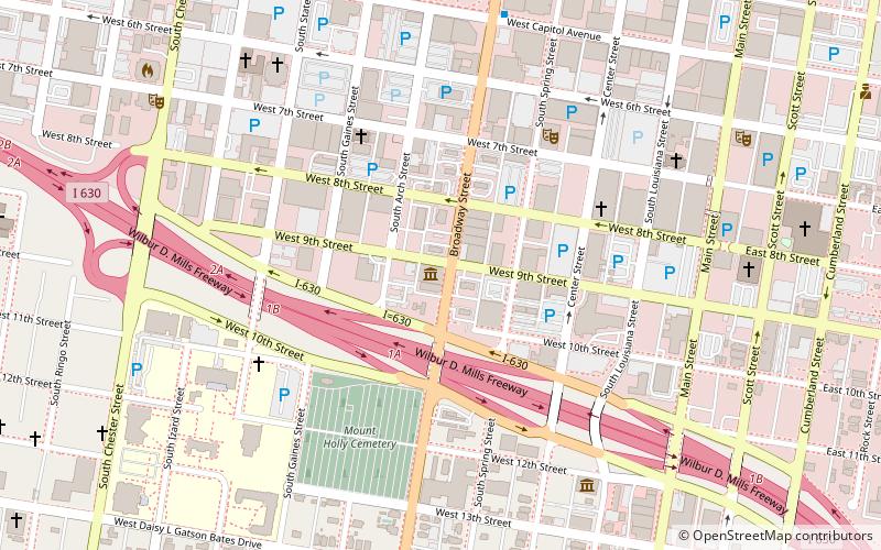
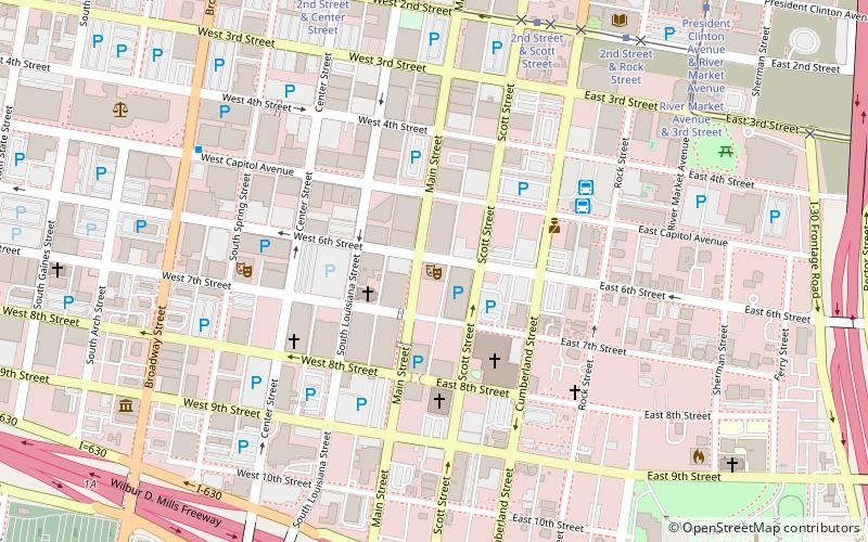
The West 7th Street Historic District encompasses a collection of early 20th-century commercial buildings on the 800-1100 blocks of West 7th Street in Little Rock, Arkansas. The thirteen buildings of the district were built between 1906 and 1951, and are mainly one and two-story masonry buildings with vernacular or modest commercial Italianate style. The Clok Building at 1001 W. 7th, built in 1915, notably has an elaborate concrete facade. ()
Area: 8 acres (0.0125 mi²)Coordinates: 34°44'43"N, 92°16'56"W
Address
Downtown Little RockLittle Rock
ContactAdd
Social media
Add
Day trips
West 7th Street Historic District – popular in the area (distance from the attraction)
Nearby attractions include: Simmons Bank Arena, Dickey-Stephens Park, Arkansas State Capitol, Statehouse Convention Center.
Frequently Asked Questions (FAQ)
Which popular attractions are close to West 7th Street Historic District?
Nearby attractions include Arkansas State Library, Little Rock (4 min walk), Solomon Gans House, Little Rock (5 min walk), First Missionary Baptist Church, Little Rock (8 min walk), Mount Zion Baptist Church, Little Rock (8 min walk).
How to get to West 7th Street Historic District by public transport?
The nearest stations to West 7th Street Historic District:
Train
Tram
Bus
Train
- Little Rock (12 min walk)
Tram
- 2nd Street & Center Street • Lines: Blue, Green (14 min walk)
- West Markham Street & Scott Street • Lines: Blue, Green (19 min walk)
Bus
- Central Arkansas Transit Authority Bus Terminal (21 min walk)
- Greyhound.. Little Rock. AR (27 min walk)


