Nicollet Island, Minneapolis
Map
Gallery
Facts and practical information
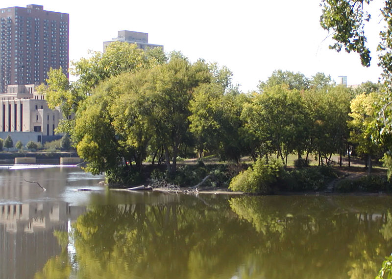
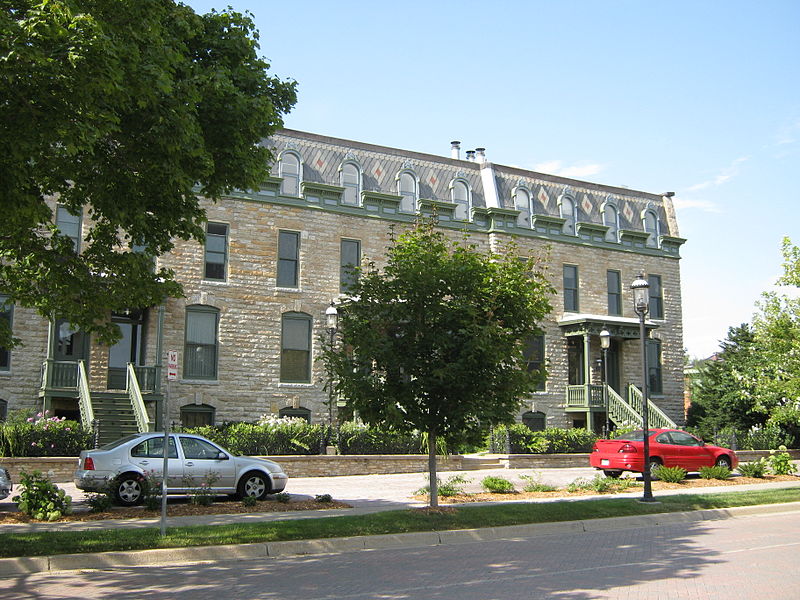
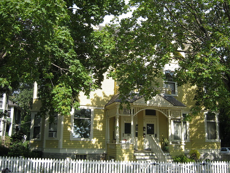
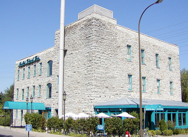
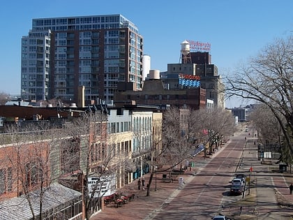
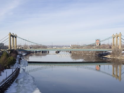
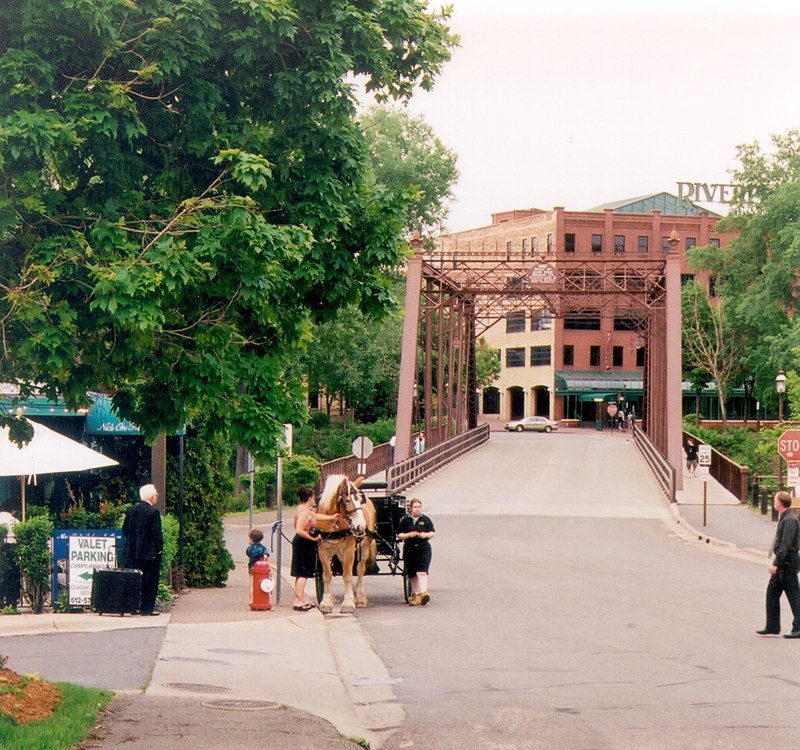
Nicollet Island is an island in the Mississippi River just north of Saint Anthony Falls in central Minneapolis, Minnesota. According to the United States Census Bureau the island has a land area of 194,407 square metres and a 2000 census population of 144 persons. The island makes up a large part of the city-designated Nicollet Island/East Bank neighborhood. The island is named for cartographer Joseph Nicollet, who mapped the Upper Mississippi in the 1830s. ()
Address
University (Nicollet Island - East Bank)Minneapolis
ContactAdd
Social media
Add
Day trips
Nicollet Island – popular in the area (distance from the attraction)
Nearby attractions include: Saint Anthony Falls, Stone Arch Bridge, Saint Anthony Main, Woodbury Lakes.
Frequently Asked Questions (FAQ)
Which popular attractions are close to Nicollet Island?
Nearby attractions include Minneapolis BNSF Rail Bridge, Minneapolis (4 min walk), Hennepin Avenue Bridge, Minneapolis (5 min walk), Hennepin Avenue, Minneapolis (5 min walk), Cedar Lake Trail, Minneapolis (5 min walk).
How to get to Nicollet Island by public transport?
The nearest stations to Nicollet Island:
Bus
Light rail
Train
Bus
- De Lasalle Dr • Lines: 4, 4A, 4L, 4P (3 min walk)
- Wilder St • Lines: 4B, 4G (4 min walk)
Light rail
- Nicollet Mall • Lines: 901, 902 (18 min walk)
- Warehouse District/Hennepin Avenue • Lines: 901, 902 (18 min walk)
Train
- Target Field (19 min walk)


