Union Tunnel, Baltimore

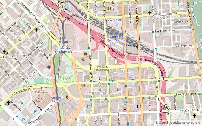
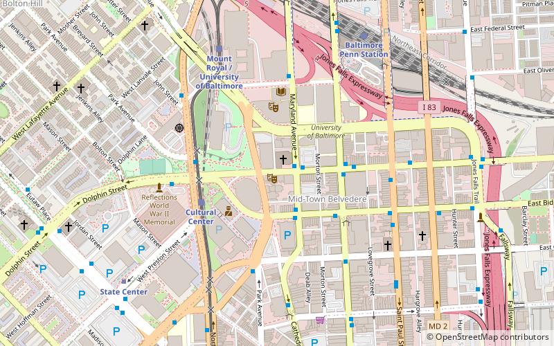
Map
Facts and practical information
The Union Tunnel is a pair of railroad tunnels on Amtrak's Northeast Corridor in Baltimore, Maryland that connect Pennsylvania Station to the Pennsylvania Railroad's original mainline to Philadelphia, Pennsylvania and points north. The original tunnel was built in 1873, while a second one was completed in 1934. ()
Coordinates: 39°18'21"N, 76°36'32"W
Address
Eastern Baltimore (Johnston Square)Baltimore
ContactAdd
Social media
Add
Day trips
Union Tunnel – popular in the area (distance from the attraction)
Nearby attractions include: Green Mount Cemetery, Lyric Performing Arts Center, Joseph Meyerhoff Symphony Hall, St. Ignatius Church.
Frequently Asked Questions (FAQ)
Which popular attractions are close to Union Tunnel?
Nearby attractions include Area 405, Baltimore (3 min walk), Copycat Building, Baltimore (5 min walk), Old East Baltimore Historic District, Baltimore (7 min walk), Green Mount Cemetery, Baltimore (7 min walk).
How to get to Union Tunnel by public transport?
The nearest stations to Union Tunnel:
Bus
Train
Light rail
Metro
Bus
- Greenmount Avenue & Biddle Street Southbound • Lines: Rd (4 min walk)
Train
- Baltimore Penn Station (10 min walk)
Light rail
- Baltimore Penn Station • Lines: Lr (10 min walk)
- Mount Royal/MICA • Lines: Lr (16 min walk)
Metro
- State Center/Cultural Center • Lines: M (21 min walk)
- Johns Hopkins Hospital • Lines: M (24 min walk)


