South Capitol Street, Washington D.C.
Map
Map

Facts and practical information
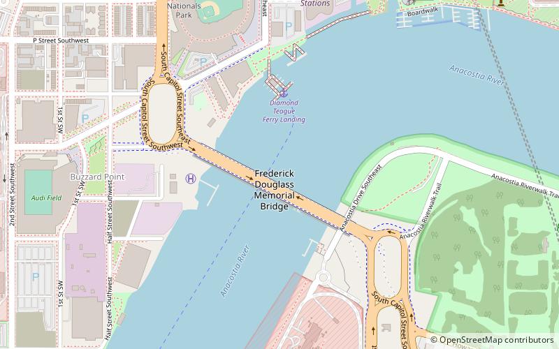
South Capitol Street is a major street dividing the southeast and southwest quadrants of Washington, D.C., in the United States. It runs south from the United States Capitol to the D.C.–Maryland line, intersecting with Southern Avenue. After it enters Maryland, the street becomes Indian Head Highway at the Eastover Shopping Center, a terminal or transfer point of many bus routes. ()
Coordinates: 38°52'8"N, 77°0'20"W
Address
Southeast WashingtonWashington D.C.
ContactAdd
Social media
Add
Day trips
South Capitol Street – popular in the area (distance from the attraction)
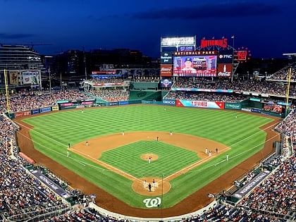
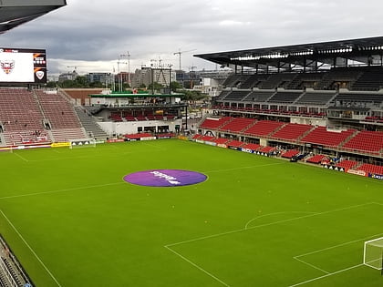
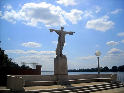
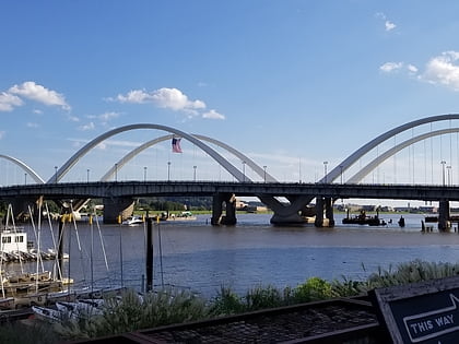
Nearby attractions include: Nationals Park, Audi Field, Titanic Memorial, Frederick Douglass Memorial Bridge.
Frequently Asked Questions (FAQ)
Which popular attractions are close to South Capitol Street?
Nearby attractions include Frederick Douglass Memorial Bridge, Washington D.C. (1 min walk), Buzzard Point, Washington D.C. (8 min walk), The Yards Park, Washington D.C. (10 min walk), D.C. Water Main Pumping Station, Washington D.C. (10 min walk).
How to get to South Capitol Street by public transport?
The nearest stations to South Capitol Street:
Metro
Bus
Train
Metro
- Navy Yard–Ballpark • Lines: Gr (14 min walk)
- Anacostia • Lines: Gr (18 min walk)
Bus
- M St SE & 4th St SE • Lines: V4 (15 min walk)
- M • Lines: W6, W8 (17 min walk)
Train
- L'Enfant (37 min walk)

