Albee Square, Sea Gate

Map
Facts and practical information
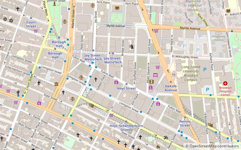
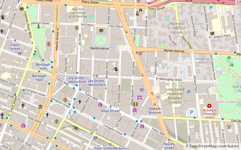
Albee Square is a public plaza in Downtown Brooklyn, New York City. The plaza is located at the intersection of Fulton Street, DeKalb Avenue, and Albee Square West. It is named after Edward Franklin Albee II who was the owner of several area theaters during the 1800s. Albee Square was a theater until 1977 when it was replaced by the Albee Square Mall, which was subsequently demolished for new development in 2004. ()
Coordinates: 40°41'28"N, 73°59'7"W
Address
Northwestern Brooklyn (Downtown Brooklyn)Sea Gate
ContactAdd
Social media
Add
Day trips
Albee Square – popular in the area (distance from the attraction)
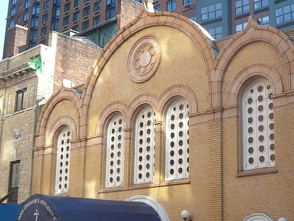
Nearby attractions include: New York Transit Museum, Korean War Veterans Plaza, The Invisible Dog Art Center, Belarusian Autocephalous Orthodox Church.
Frequently Asked Questions (FAQ)
Which popular attractions are close to Albee Square?
Nearby attractions include 388 Bridge Street, Sea Gate (2 min walk), Ava Brew, Sea Gate (2 min walk), Brooklyn Tabernacle, Sea Gate (3 min walk), Abolitionist Place, Sea Gate (3 min walk).
How to get to Albee Square by public transport?
The nearest stations to Albee Square:
Metro
Bus
Train
Ferry
Metro
- Hoyt Street • Lines: 2, 3 (2 min walk)
- Jay Street–MetroTech • Lines: <F>, A, C, F, N, R (3 min walk)
Bus
- Greyhound (3 min walk)
- Myrtle Avenue & Saint Edwards Street • Lines: B54 (12 min walk)
Train
- Atlantic Terminal (16 min walk)
Ferry
- Pier 11/Wall Street Terminal (34 min walk)


