Kapālama, Honolulu
Map

Map

Facts and practical information
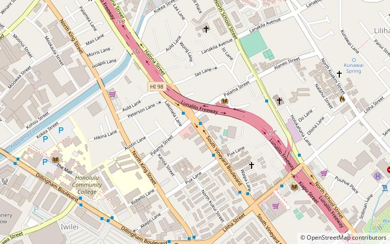
Kapālama, now often called Pālama, is a neighborhood of Honolulu, Hawaii. It is often combined with the adjacent Kalihi and referred to as a single entity, Kalihi–Pālama. ()
Coordinates: 21°19'24"N, 157°51'53"W
Address
Kalihi - PalamaHonolulu
ContactAdd
Social media
Add
Day trips
Kapālama – popular in the area (distance from the attraction)
Nearby attractions include: Aloha Tower Marketplace, Bishop Museum, Aloha Tower, Cathedral Basilica of Our Lady of Peace.
Frequently Asked Questions (FAQ)
Which popular attractions are close to Kapālama?
Nearby attractions include Kaumakapili Church, Honolulu (4 min walk), Co-Cathedral of Saint Theresa of the Child Jesus, Honolulu (7 min walk), Foster Botanical Garden, Honolulu (11 min walk), Hawaii Kotohira Jinsha – Hawaii Dazaifu Tenmangu, Honolulu (12 min walk).
How to get to Kapālama by public transport?
The nearest stations to Kapālama:
Bus
Bus
- Vineyard Boulevard + Palama Street • Lines: 101, 102, 103, 11, 3, 53, 54, 81, 83, 84, 84A, 85, 86, 88, 88A, 90, 91, 92, 93, 96, 97, 98, 98A, Ph6 (1 min walk)
- School Street + Momolio Street • Lines: 13, 1L, 2, 2L, W3 (6 min walk)


