The Greenpoint, New York City
Map
Gallery
Facts and practical information
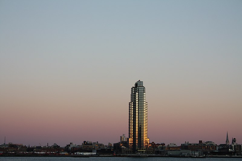
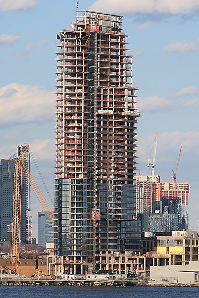
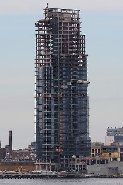
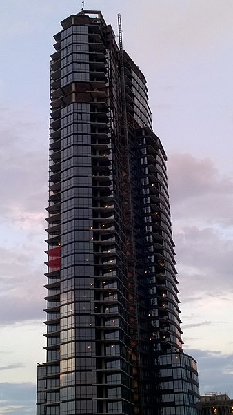
The Greenpoint is a two-building residential complex under development in the Greenpoint neighborhood of Brooklyn. The two buildings are a 400 feet tower with condos and a block-long five story building with rentals. It will be located next to a ferry stop. ()
Coordinates: 40°43'56"N, 73°57'39"W
Address
Northern Brooklyn (Greenpoint)New York City
ContactAdd
Social media
Add
Day trips
The Greenpoint – popular in the area (distance from the attraction)
Nearby attractions include: Asser Levy Recreation Center, Bushwick Inlet Park, FDR Drive, Brooklyn Bowl.
Frequently Asked Questions (FAQ)
Which popular attractions are close to The Greenpoint?
Nearby attractions include WNYC Transmitter Park, Sea Gate (5 min walk), Greenpoint Reformed Church, New York City (8 min walk), Greenpoint, New York City (10 min walk), McGuinness Boulevard, New York City (14 min walk).
How to get to The Greenpoint by public transport?
The nearest stations to The Greenpoint:
Metro
Train
Bus
Metro
- Greenpoint Avenue • Lines: G (9 min walk)
- Nassau Avenue • Lines: G (19 min walk)
Train
- Long Island City (18 min walk)
- Hunterspoint Avenue (25 min walk)
Bus
- Vernon Boulevard & Borden Avenue • Lines: Q103 (19 min walk)
- 1 Av & E 25 St • Lines: M15-Sbs (25 min walk)



 Subway
 Manhattan Buses
