Whittier Narrows Dam, Los Angeles
Map
Map

Facts and practical information
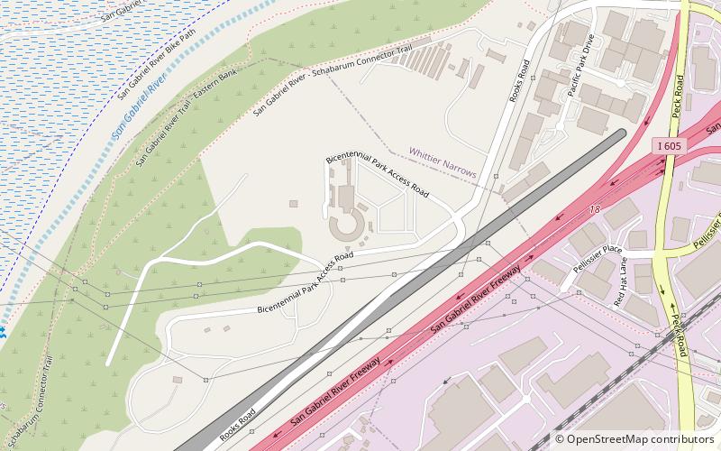
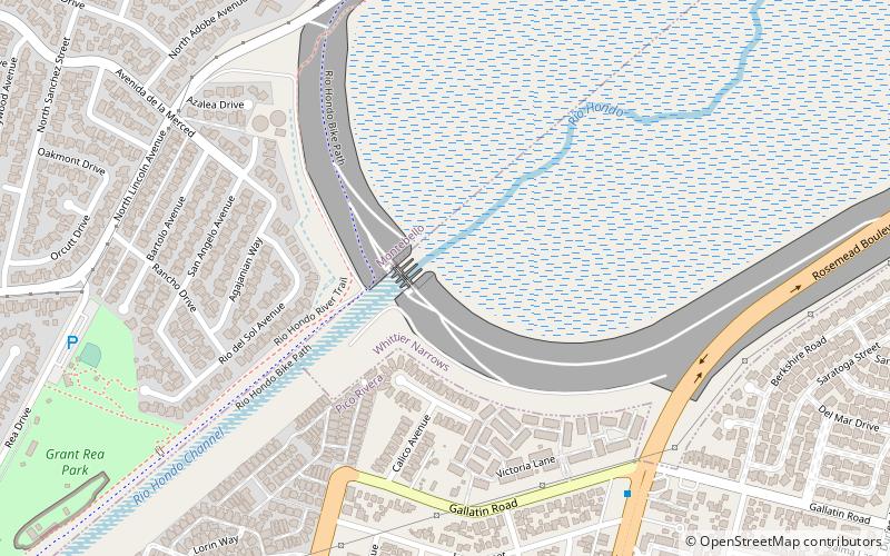
Whittier Narrows Dam is a 56-foot tall earth dam on the San Gabriel River and the smaller, parallel Rio Hondo. The dam is located, as the name implies, at the Whittier Narrows. It provides water conservation storage and is also the central element of the Los Angeles County Drainage Area flood control system. Its reservoir has a capacity of 67,060 acre⋅ft. ()
Coordinates: 34°1'12"N, 118°4'58"W
Address
Whittier NarrowsLos Angeles
ContactAdd
Social media
Add
Day trips
Whittier Narrows Dam – popular in the area (distance from the attraction)
Nearby attractions include: The Shops at Montebello, Pico Rivera Sports Arena, Montebello Genocide Memorial, Commerce Casino.

 Metro & Regional Rail