Norfolk and Western Railroad Historic District, Norfolk

Gallery (1)
Map
Map
Facts and practical information
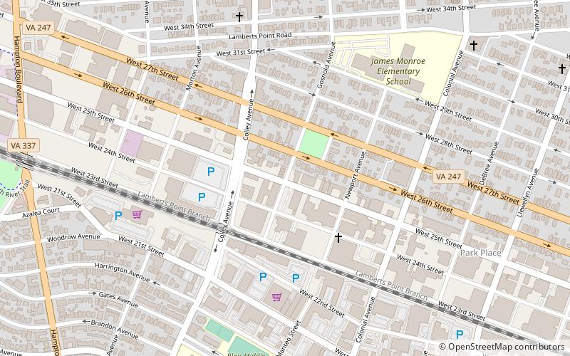
The Norfolk and Western Railroad Historic District encompasses an historic industrial district of Norfolk, Virginia. Centered on the tracks of the Norfolk and Western Railroad between Bowden's Ferry Road and Monticello Avenue, it extends as much as three blocks north and south of the tracks, including within its bounds most of the industrial resources found in that area. This area was developed roughly between 1890 and the 1930s, and includes fine examples of late 19th century commercial brick architecture, and a few fine examples of Art Deco styling. The district partially overlaps the Park Place Historic District to the north, and the Williamston-Woodland Historic District to the south. ()
Area: 167 acres (0.2609 mi²)Coordinates: 36°52'24"N, 76°17'38"W
Address
Park PlaceNorfolk
ContactAdd
Social media
Add
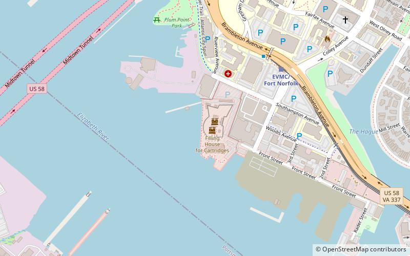
Getting there by public transportation
Public transportation stops near this location
- Light rail
- Train
 Light rail
- Calculate routeGoode 26 min walk
- Calculate routeBeazley 26 min walk
- Calculate routeEVMC/Fort Norfolk 30 min walk
Day trips


Frequently Asked Questions (FAQ)
Which popular attractions are close to Norfolk and Western Railroad Historic District?
Nearby attractions include Mermaid Factory, Norfolk (8 min walk), Blair Middle, Norfolk (10 min walk), Zion Methodist Church, Norfolk (17 min walk), North Ghent, Norfolk (18 min walk).
How to get to Norfolk and Western Railroad Historic District by public transport?
The nearest stations to Norfolk and Western Railroad Historic District:
Train
Light rail
Train
- Goode (26 min walk)
- Beazley (26 min walk)
Light rail
- EVMC/Fort Norfolk • Lines: Tide (30 min walk)